The most beautiful tours in Norway
The best of tourism in Norway


Norway is a very mountainous country and offers incredible opportunities for tourists. Due to the harsh weather, the local tours are usually one of the most difficult and you have to be prepared and equipped.
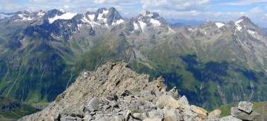
Besseggen ridge crossing
One of the most popular treks in all of Norway
The Besseggen ridge is located in the Jotunheimen National Park and is undoubtedly one of the most popular… continue reading


Sail
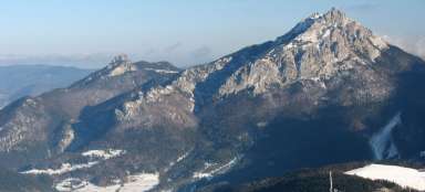
The most beautiful mountain on the island of Senja
Mount ** Segla ** belongs together with the jagged ridge „Okshornan“: [https://www.gigaplaces.com/…k… continue reading


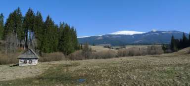
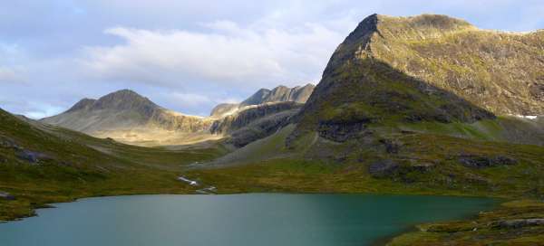
Ascent to Mannen
Around mountain lakes and snow fields
It is possible to undertake several interesting hikes to the surrounding peaks, to the glacier or mountain… continue reading

Hike to Kjeragbolten
The most famous stone
Kjeragbolten is located in the Lysefjord area, which is one of the most visited tourist destinations in… continue reading

Hike to Blavatnet lake
Walk to the lake
From the valley Stardalen in National Park Jostedalsbreen lead many interesting paths to glaciers and lakes.… continue reading

Trek through Hardangervidda
140km trek through the Hardangervidda plateau
Hardangervidda in the middle of southern Norway is a huge plateau covering an area of about 8,000 km2, which… continue reading

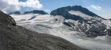
Hike to glacier Haugabreen
Face of the glacier to the touch
Jostedalsbreen nasionalpark offers many possibilities for hiking of any difficulty. There are also many… continue reading

Hike to the Nigardsbreen Glacier
To the largest mainland glacier in Europe
The Nigardsbreen glacier slide is part of the largest continental glacier in Europe, the Jostedalsbreen. The… continue reading

Trek through Rondane National Park
An unforgettable crossing of Rondane
Rondane National Park is located about 100 km north of Lillehamer. I used the train and bus transport links.… continue reading

Hike to lake Bondhusvatnet
Lake below the glacier Folgefonna
From the town of Odda, lying at the end of Sorfjorden leads 11 km long tunnel, through which we get on the… continue reading

Walks by Bygdin lake
On the south of national park Jotunheime
Starting point fort Bygdin is Fagernes. You can see here snow covered peaks of the southern part of… continue reading

Hike to lake Myrdalsvatnet
Above fjords to the mountain lake
From the town Bondhus continues the road no.551 into town Rosendal, which lies on the banks of… continue reading