Amazing flight along Himalayas
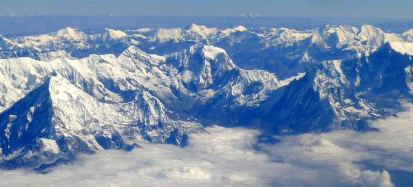
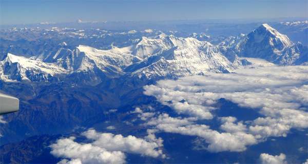
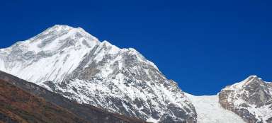
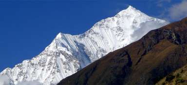
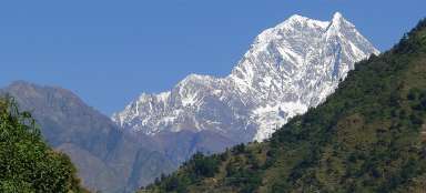
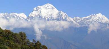
Short flight from Kathmandu to Delhi or vice versa is in good weather renowned for amazing views of the main Himalayan range. Mainly peaks of Annapurnas and Dhaulagiri seem as if they were just at your fingertips. If you are lucky, you will also see in the distance of Tibet the sacred mountain Kailash or the highest Indian inland mountain Nanda Devi. It is important to sit on the correct side of the plane, i.e. on the right side if you are flying from Kathmandu.
Aerial view of mountain range Ganesh
Maybe you will be a little pessimistic early during the flight, when the plane will after take-off do its way through smog and clouds, though which nothing will be visible. Quite often, however, this veil opens and you will suddenly see seven thousand high mountain range Ganesh. The peak on the left is Ganesh II (7 118 m asl), neighboring massive peak is Pabil (7 104 m asl), behind the pass Salasungo (7 043 m asl). Then the highest peak of the whole massif Yangra (7 422 m asl).
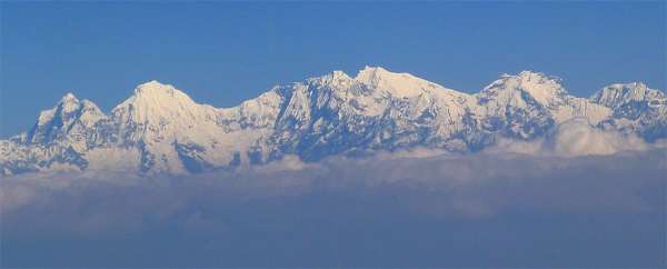
Aerial view of the massif Manaslu
Just a few minutes later follows a beautiful view of the entire massif Manaslu (8 163 m asl). At the very right is huge massif Himalchuli (7 893 m asl).
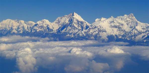
Aerial view of Annapurna II
Even closer seems to be Annapurna II (7 937 m asl), whose top connects the long glacial ridge with unimpressive Annapurna IV (7 525 m asl).
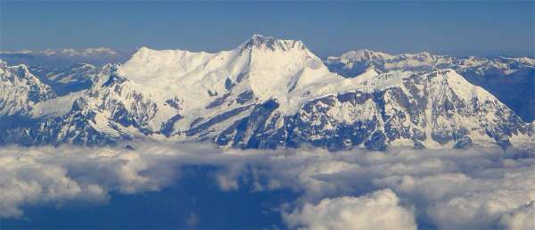
Parade of Annapurnas
If you were walking around Annapurnas for many days and you had to bend your head to see them, so you will repeat here all of this in a few minutes. From the left: Gangapurna, Annapurna III, Annapurna IV and II.
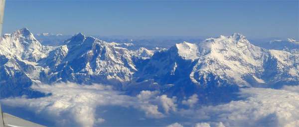
Aerial view of Annapurna I and Machhapuc
The highest mountain of Annapurna I massif itself is not a mountain beauty, but is one of the three mountains with the highest number of deaths. Right next is beautiful Machhapuchhare, but it blends with the ridge behind it here.
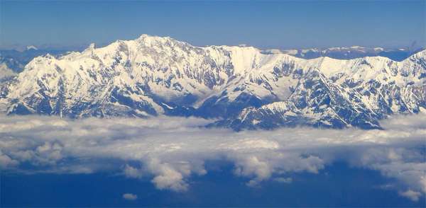
Aerial view of Dhaulagiri
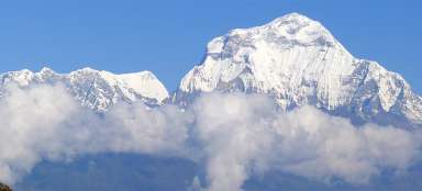
Looking ahead you will see the top of Dhaulagiri (8 167 m asl), which towers above everything. On the left is a „shrimp“ Tukuche (6 920 m asl).
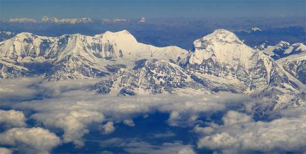
Ice sea
Look back at massif of Annapurnas and dozens of other peaks is absolutely breathtaking.
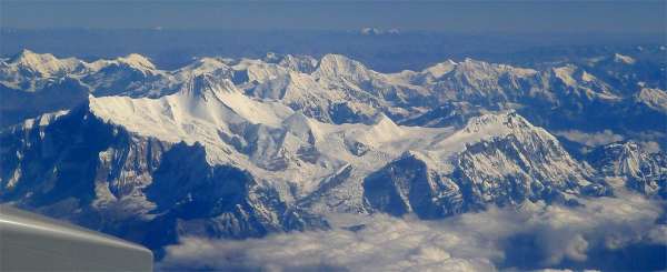
Annapurna Sanctuary
Another few minutes of the flight are still worthwhile to look back, because you will finally see Annapurna I like a nice mountain. From this view you can also see the whole „sanctuary“ embraced almost on all sides by mountains, where also leads the popular Annapurna BC trek.
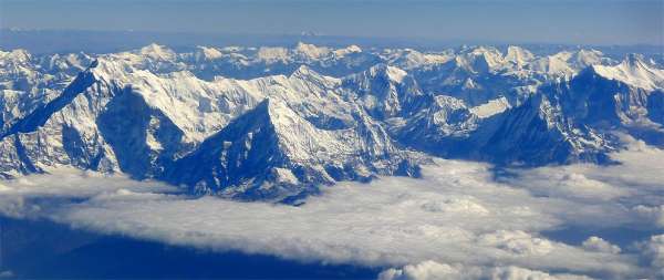
Valley of Kali Gandaki
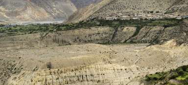
Nice view is also of the valley of Kali Gandaki, which intersects the massif of Annapurnas and Dhaulagiri. Due to the difference between the heights of the peaks with the bottom of the valley it is regarded as the deepest in the world.
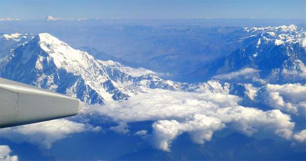
Massif of Dhaulagiri
Massif of Dhaulagiri is far less crowded than neighboring Annapurna, but also offers stunning views of the mountain giants.
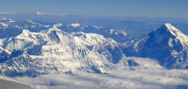
Aerial view to the north from Dhaulagiri
To the north from Dhaulagiri are arid ridges of Dolpa, Mustang and Tibet.
Even before you turn back to the plains of Punjab and land in Delhi, you will see on the horizon Kailash and Nanda Devi.
