Article Hike to Kjeragbolten
The most famous stone


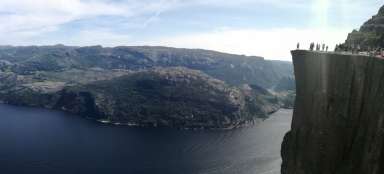
Kjeragbolten is located in the Lysefjord area, which is one of the most visited tourist destinations in Norway, located several tens of kilometers east of Stavanger. Kjeragbolten in the translation of the Kjerag wedge is an interesting geomorphological toy of nature under the top of the Kjerag hill. It is a several-ton round boulder, which is stuck in a gap between two cliffs. The starting point for hiking is the Øygardstølen car park at an altitude of 640 m above sea level. The hiking itself takes about 5 hours and is very well marked, passing over the top of Nesatindane. The very beginning of the tour is pretty much out of sight, when it is necessary to overcome the first ascent of about 165 meters. Chains are set up to help in the rock, and in case of rain or icing it is the most unpleasant part of the hike, then the last one is to descend into a small valley and climb the smooth rock steeply up to the top plateau, followed by relatively flat terrain. The boulder is wedged above an abyss 980 meters deep and below it flows the 25th highest waterfall in the world Kjeragfossen.
The beginning
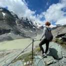
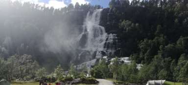
As Kjeragbolten is one of the most popular attractions in Norway, it is convenient to come there in the morning and the best way to be there is to be among the first to sleep near the Øygardstølen car park. Since camping in the wild is in Norway, I legally recommend sleeping in the area, we managed to discover such a wonderful place with a waterfall.

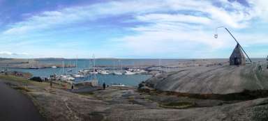
View from the parking lot
View from the parking lot of the beautiful, narrow Norwegian roads complemented by a number of serpentines and tunnels, which are challenging especially in the vicinity of tourist attractions where you can easily meet the bus.

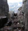
Initial climb
As already mentioned in the text at the beginning, it is necessary to get out of the parking lot for the first approximately 160 meters along this wall.

We descend and ascend
Following the ascent to the first „peak“ is a slight descent followed by a slight ascent to the top of Nesatindane.

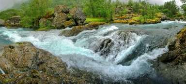
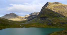
Lakes
During the trip, you walk around two lakes.

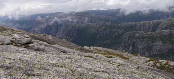
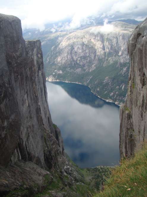
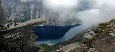
Fjord view
After a short descent to the lake, there are beautiful views of the surrounding glacial landscape, but also of the bottom of the fjord, where there is a small village with a shop.

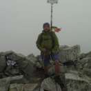
Climb to the top
The already mentioned short ascent to the top of Nesatindane, the path does not lead through the top itself and also the top does not provide interesting views of the surrounding countryside.

View from the top plateau
After the final ascent, wonderful views of the surrounding glacier-marked landscape open up.

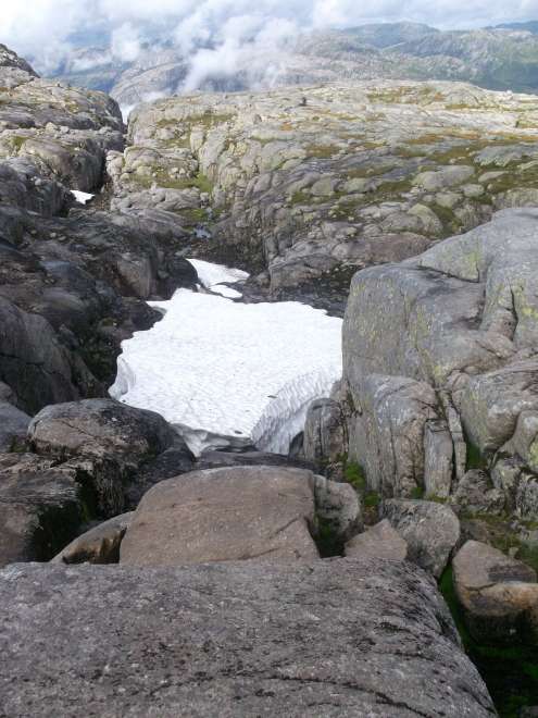
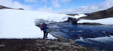
Final descent
The final descent to Kjeragbolten from the top plateau, which passes through small snow fields.
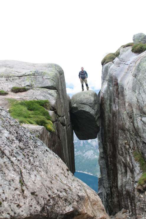
Kjeragbolten
At the end, a Kjeragbolten stone walks through the valley, which shows a view of the destination.

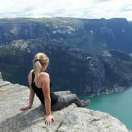
Destination of the journey
Finally, like every tourist, it is necessary to take a photo of this beautiful stone, which is walked on (jumps) from a side stone, everyone wants to take this photo there, so it is necessary to expect waiting in the summer months for lunch, which can be an hour.
View from Kjeragbolten
A few more views from Kjeragbolten towards the fjord.

Fjord view
Finally, it is worth looking towards the fjord and find out what the big gap is under the stone and run towards the parking lot, because the Norwegian weather brings showers at regular intervals.
Articles nearby


Giga List: The most beautiful tours in Norway
Norway is a very mountainous country and offers incredible opportunities for tourists. Due to the harsh weather, the local tours… continue reading
Giga List: The most beautiful tours in Europe
Although Europe cannot boast such high mountains as other continents, you will still find beautiful hiking trails and ascents. In… continue reading