Canary islands

The most beautiful hikes in Teide National Park

The best tourism in Tenerife
Petr Liška
Wrote 2463 articles and follows him / her 248 travelers
The most beautiful hikes in Teide National Park
Inserted: 20.02.2021
Author: Petr Liška © gigaplaces.com
Suitable for:
Hikers

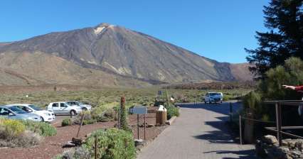
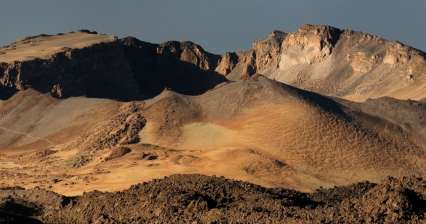
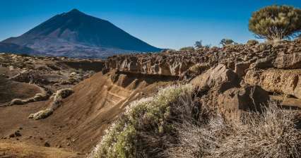
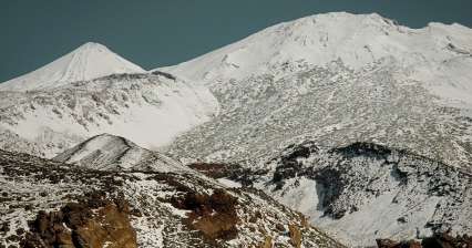
The whole center of the island of Tenerife is occupied by an inhospitable volcanic caldera from which rises the highest mountain in Spain – Pico del Teide. The whole caldera then belongs to the national park. The hikes lead not only to the highest peak of the island but also to the mountains on the edges of the caldera. Let's see what to do here for beautiful hikes

1.
Ascent to Pico del Teide

Ascent to the highest mountain in Spain

Rating:
| Altitude: 3 718 m / 12 198 ft

Pico del Teide, currently an inactive stratovolcano 7,500 meters high (from the bottom of the Atlantic; the tenth highest in the world) is the highest mountain on the island of Tenerife and at the same time the highest peak in Spain with an altitude of 3,718 m above sea level. 1) a two-day ascent with an overnight stay in the cottage (Refugio Altavista) 2) comfortable with a cable car. continue reading
2.
Crossing over the Pico Viejo

The best in the volcanic landscape

Rating:
| Altitude: 3 555 m / 11 663 ft

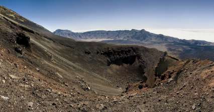
This hike is very tempting, because it takes you almost to the top of Pico de Teide (possibly up to it), guides you through the chaotic terrain of lava flows and makes you acquainted with the incredible landscape of monumental crater of volcano Pico Viejo drowsing on the foot of higher stratovolcanic Teide. There is a cableway leading to this highest peak of Tenerife and the whole Spain and it ends at a height of 3 555 meters asl. Another possible way to get there (except for the alternative ascent to Pico de Teide, for which is necessary a permit) continues with the descent. But its length and terrain is quite challenging. The descent ends at the parking lot at Parador Nacional de las Canadas hotel at an altitude of approximately 2 100 meters asl.  continue reading

3.
Ascent to Guajara

An inconspicuous peak

Rating:
| Altitude: 2 710 m / 8 891 ft

The ascent to this 2,718-meter-high peak begins at the Cañada Blanca information center, while the descent continues to the village of Vilaflor. In total, it will climb less than 600 meters during it, but then it is necessary to descend by 1,400 meters. The route, with a total length of approximately 16 kilometers, passes through several vegetation zones and is also interesting from a geological point of view. continue reading

4.
Hike around Roques de Garcia

Hiking near God's finger

Rating:
| Altitude: 2 190 m / 7 185 ft

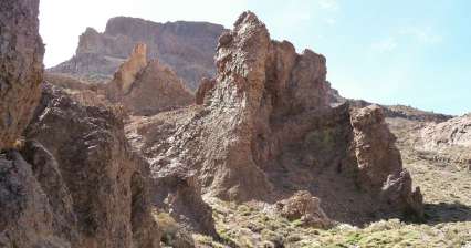
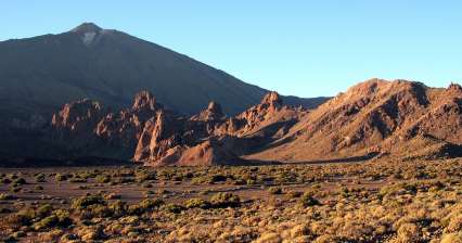
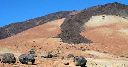
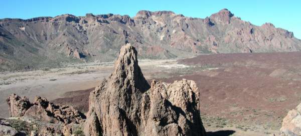
For most visitors, Roques de Garcia is just a view of the Pico de Teide over the Rock of God's Finger. However, you can also take a very pleasant walk around this entire volcanic ridge with rock towers. continue reading
5.
Arenas Negras

On the edge of the central caldera

Rating:
| Altitude: 2 054 m / 6 739 ft

A circular route through the eastern part of the central caldera will take us into an attractive volcanic landscape with nice views of the dominant stratovolcano Pico de Teide. continue reading

6.
Ascent on Montana Reventada

To the foot of stratovolcano through vol

Rating:
| Altitude: 2 231 m / 7 320 ft

Ascent to Montana Reventada is an ideal acclimatization hike, during which you ascend to a height of 2,231 meters asl. At the same time it may also be the first and very attractive introduction to the volcanic landscape of the island Tenerife. Ideal access path is a road leading to the central caldera from the west from town Guia de Isora. After a relatively quick ascend though the curves appear the view of stratovolcano Pico de Teide and soon also a parking place, which serves as an outlook point. Here is very often overcome the wall of trade wind clouds, which is at altitude around 900 to 1200 m asl. Above them is an amazing world of Parque Nacional del Teide. continue reading

7.
Hike to Las Narices del Teide

Teide´s nostrils

Rating:
| Altitude: 3 022 m / 9 915 ft

The ascent to the holes, through which used to „breathe“ the stratovolcano Pico de Teide, can be a trial acclimatization hike before walks at higher altitudes. A day spent in sometimes chaotic terrain of this landscape will also offer magnificent views of the western part of central caldera, southwest of the island Tenerife with Teno mountains and neighboring island La Gomera. The level of three kilometers (3 022 m asl) will be overcome during this ascent. The trail then continues up to the crater of Pico Viejo (3 134 m asl), which is an alternative option for a day hike (longer by at least 2 hours). continue reading
8.
Ascent to Refugio de Altavista

Ascent below the highest mountain in Spain

Rating:
| Altitude: 3 260 m / 10 696 ft

The ascent to the highest mountain in Spain – Pico de Teide (3,718 m above sea level) is undoubtedly one of the most classic hikes you can take in Tenerife. Surprisingly, this hike is not overcrowded, as most visitors to the mountain use a cable car, which will take them to a height of 3,550 m above sea level. However, you do not have to worry that at the top it will be like a market place. Most of these visitors who take the cable car do not know that the final ascent to the summit needs to be registered in advance and will only remain on the sightseeing circuit below the summit. The hike itself will take you through a bizarre volcanic landscape with amazing views across the island. This first stage of the ascent leads from the car park to the Refugio de Altavista cottage. continue reading

Applaud the author of the article!
Share it on:

Articles nearby

Practical information