A small circuit through the Bohemian Central Mountains
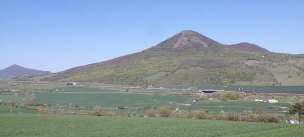
The Czech Central Highlands are full of distinctive hills, the tops of which clearly attract to conquer. This article can be a little inspiration on how to conquer five of them by bike (and partly on foot) in one day, as well as visit four ruins. The circuit is not very long, about 41 km with an elevation gain of 1,100 – 1,200 meters, but since it pays to stay at each peak for a while, expect a time of about 7 hours. The route can be completed on a trekking bike, but in some sections there is a better mountain.
Oparno
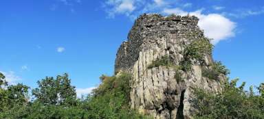
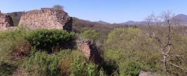
The circuit starts in Velemín, where it is possible to leave the car in a small parking lot at the municipal office. From the municipal office, we first take the green road, from which we soon turn right and connect to the blue hiking trail along V Gruntu Street. Modrá leads along a pleasant path through the valley around the Milešovský brook, we go under the highway bridge and soon we are at the Oparenský mill. Here we turn right along the green and the first short climb along the forest path to the ruins of the Oparno castle awaits us. Relatively massive remains of walls and a small remnant of the old cellar have been preserved from the castle. It also has a nice view of the surroundings, which is dominated by Milešovka.
Kybička
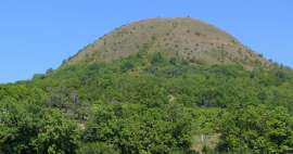
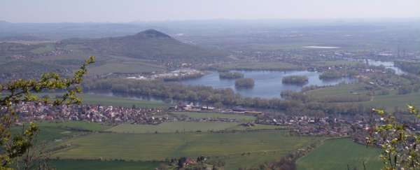
After a tour of the ruins, there is a short descent to the village of the same name. At the crossroads by the railway bridge, turn right onto cycle path no. 25 and a parallel blue, slowly rising village. Before the end of the village, the blue-marked trail turns left, the shortest way to the top of Lovovo. For a cyclist, however, it is more convenient to continue further along the bike path to a small parking lot (near the highway) and only turn left along the yellow hiking trail, which leads us along a comfortable forest path to the Lovoš crossroads (but there is still a long way to the top and over 200 altitude meters if the altitude data on the signpost can be trusted). From the crossroads we continue to the right, this time again along the blue. After about 250 meters we get to the saddle between Lovoš on the right and its lower neighbor, Kybička (sometimes called Malý Lovoš) on the left. There is no marked path to Kybička, but there is a paved footpath, which can be ridden on a mountain bike with a little dexterity. But it is also possible to leave the bike in the saddle and walk to the top – the top is only about 300 meters away. The footpath first leads to Panenský kamen, where it is marked as an educational trail and from where there is the first nice view and then unmarked it continues to the top of Kybička, from where there is again a nice view towards Lovosice, Žernosecky lake and Radobýl.
Lovos
We get down or go back to the saddle and return to the blue. We have only the last kilometer to the top of Lovovo ahead of us. The road is now much steeper, but groomed and well navigable. After all, the cars of the operators of the tourist cottage at the top also drive here. There is a great circular view from the top. The most significant peak is, of course, again Milešovka, to the right of it is a slightly lower Kletečná. You can also see, for example, Klapý with the ruins of Hazmburk at its top, Ostrý, at the top of which there are also the remains of a castle and a number of other hills.
Downhill
From the top, along the same path, we descend again to the saddle between Lovoš and Kybička. From here it is possible to continue to the next destination in two different ways. An easier option is to take the blue and then the yellow to the road from Oparno, along which the cycle path No. 25 leads (from where we started climbing to Lovoš) and through Režný Újezd and Boreč, still along the cycle path No. 25, to the Košťálov crossroads. More challenging, but perhaps more interesting for everyone, is to descend from the saddle along the green marked hiking trail to Lovosice. The descent is relatively steep, especially in the first part, along a narrow path and it is definitely better to have a mountain bike here. Follow the green road almost to the center of Lovosice, along Dlouhá Street, until we come to a blue turn leading to Krátká Street. We will leave Lovosice along the blue road, we will pass through Vchynice, from where we will continue along the green road to Radostice, where we will get rid of the asphalt again for a while. Zelená will take us to the already mentioned cycle path No. 25, along which (again on asphalt) we will reach the Košťálov crossroads.
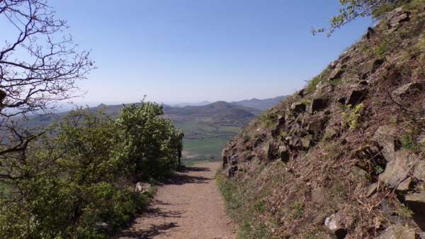
Stalk
At the crossroads we turn left along the red road and after a short but steep climb we reach the top of Košťál along the forest path, where the second ruin of today's program – Košťálov – is located. Significant remains of the castle palace have been preserved to this day.
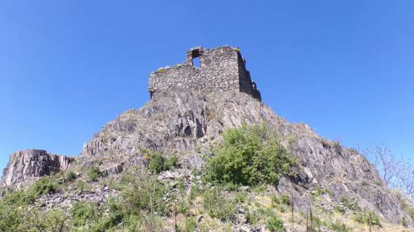
View from Košťál
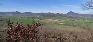
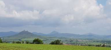
From the top there is again a beautiful circular view and in addition to the hills of the Bohemian Central Mountains, it is possible to see, for example, Říp with its unmistakable silhouette (but do not look for it in this photo).
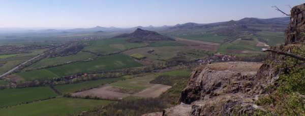
Skalka
From Košťál we will descend back to cycle path no. 25, after which we will continue to Sutomi and further to Vlastislav. Here is the castle Skalka, but mainly the ruins of the castle Skalka, which is on a small hill, next to the castle. Above all, the massive tower of the castle has been preserved.
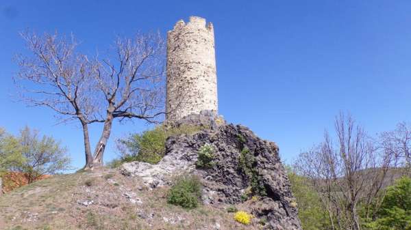
Plešivec
It went almost alone from Košťál to Skalka, but now we have another climb ahead of us. Before the end of Wroclaw, we leave the cycle path and turn left along the red road and slowly climb up through the settlement of Chrastná. While in the distance there is still a distinctive Košťál behind us, in front of us is another peak, perhaps a little less expressive, but still attractive and also promising beautiful views – Plešivec.
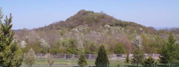
The top of Plešivec
Plešivec is inside a fenced field and the red sign leads only along its edge around the fence. Fortunately, in one place it is possible to legally climb the fence and go to the top along the marked path. However, this means leaving the bike by the fence and continuing on foot (most of us probably wouldn't go far by bike anyway). The top is barely 250 meters from the fence, but the elevation gain is about 50 meters. In the last section, the trail basically leads along a rock and a wonderful view opens up already during the ascent.
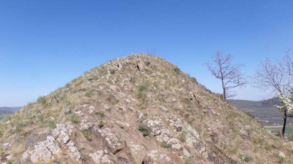
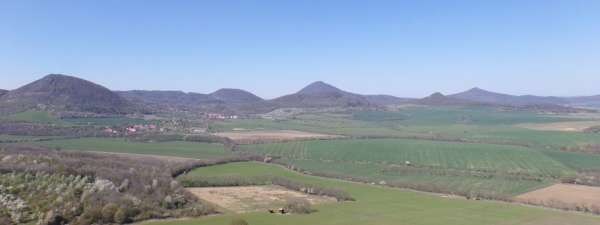
View from Plešivec
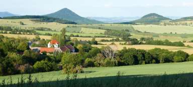
At the very top, the space is barely a few square meters and the view meets previous expectations. With the exception of a few trees, the top is completely bare and there is nothing to prevent the view. Of the many hills, Lipská hora, Košťál and of course Milešovka are probably the most interesting. Looking in the opposite direction, we can see today's last goal, the Altarpiece.
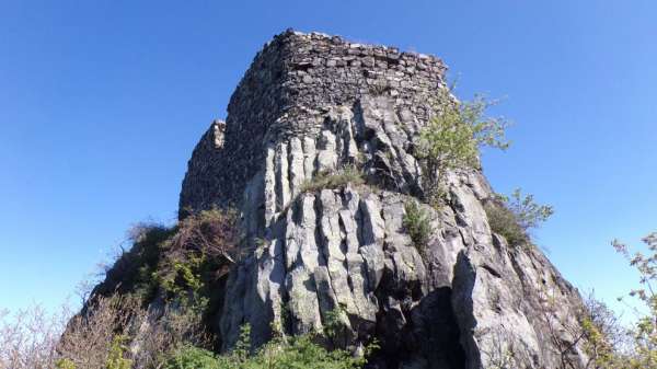
Altarík (Hrádek)
After returning to the fence, we continue along the red. After a few hundred meters, we reconnect to the road, pass through the village of Děkovka and at the crossroads of the same name, a little behind the village, turn left onto the blue. The blue initially leads along a wide, slightly ascending, forest path. At the next crossroads, we turn left again and the wide road soon becomes a narrow, quite steeply rising footpath. The top is formed by a massive rock, on which there is no point to climb the bike, it is better to leave the bike in the area below the top and the rest to walk out. The peak of Oltářík is the second highest point of this circuit and is only 4 meters lower than Lovoš. At the top is the ruins of the same name. However, there may be a bit of confusion in the names, because both the hill and the ruins can sometimes be referred to as the Altar, sometimes as Hrádek.
View from the Altarpiece
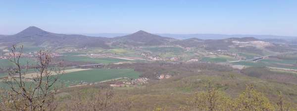
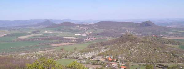
The ruins are to some extent similar to the nearby Košťálov, but each of them is unique and both belong to the most beautiful places in the Bohemian Central Mountains. The view is magical again and looking west we can recap the whole way. We see Plešivec, Skalka, Košťál and Lovoš. Only the Oparno below can only be guessed and Kybička is hidden behind Lovoš from this side.
Back to Velemín
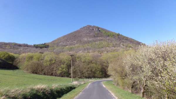
All that remains is a return to Velemín. First we will return to the Děkovka crossroads and from there there are more options to get to Velemín. One of them is to continue along the red road, first along the road, then along the forest path, to Lhota, where we return to the road and drive further to Mrskles and Medvědice. The road leads around Leipzig Mountain, which from some places looks really impressive. However, it is better to go to its top on foot, so we leave it behind and continue to Kocourov. We turn left behind him. The last ascent will take us to the saddle below the Ostrý hill, with another ruin at the top. If you still have enough strength, it is definitely worth a visit. However, we will keep it for another time: [https://www.gigaplaces.com/…vku-a-ostry/] and descend to Milešov, from which we will soon arrive back along the green marked tourist route to Velemín.
Articles nearby
Giga List: The most beautiful trips in the Bohemian Central Mountains
The Czech Central Highlands is one of the most interesting areas in the Czech Republic. Dozens of beautiful cones rise above the… continue reading
