A two-day alpine hike
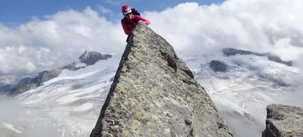
The Großvenediger, or Greater Venetian, lies west of the Großglockner and is considered Austria's fourth highest mountain. It is usually accessed from the east through the so-called Prague cottages. We decided to conquer it from the west – via Kürsingerhütte and climb it not by normal, but by the Nordgrat climbing route of difficulty III + (AD).
View of Großvenediger from the west
The Nordgrat, or northwest ridge, is a rock running diagonally to the left.
Day first
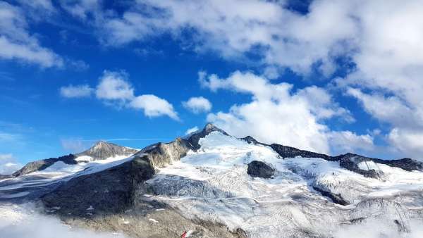
Keeskogel (3291 m), 1700 m elevation gain, 15 km
The original plan of our expedition was to conquer the top of the Großglockner by climbing the Stüdlgrat. Großvenediger was chosen as a replacement, quite improvised and chosen during Friday night's move to Austria, due to poor weather forecast and a fully occupied Stüdlhütte. We spent the night in civilization in the town of Matrai in Osttirol in a modest comfortable apartment, there was rain falling outside.
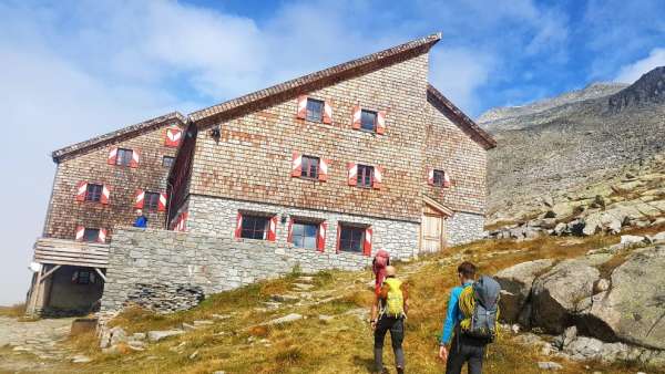
Kürsingerhütte
In the morning it seemed to rain for a while, but during the hour's drive, it became clearer and it was only sunny for the rest of the weekend. Access to the cottage Kürsinger is quite time consuming. The Hopffeldboden car park, where you must leave your car, is thirteen kilometers from the beginning of the climb to the chalet, or from the lower station of the material cable car used to supply the chalet. So you will walk through a decent valley and climb eight hundred meters of altitude; parking is at an altitude of 1100 m, the lower station of the cable car is at an altitude of 1900 m. But you still have in front of you Wanderweg12 ascending to the cottage and another six hundred meters of elevation gain. On the way through the valley, the so-called shuttle transport „commutes“, but we did not manage to catch it, but we managed to persuade a native with a car about halfway through to pay us for a fee.
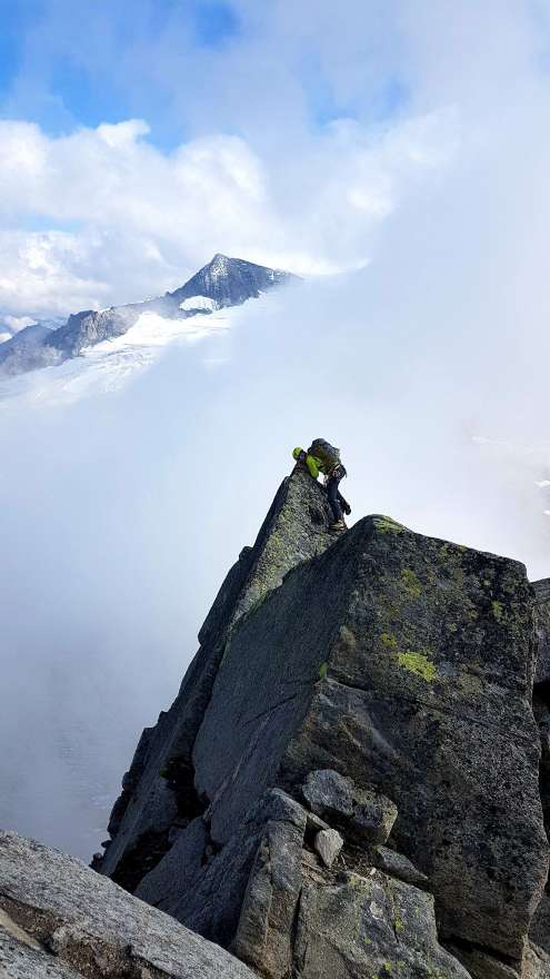
Comb on Keeskogel 3291 m
Due to the fact that we did not have to complete the entire long route through the valley on foot, we had time for afternoon climbing. The choice fell on the top of Keeskogel, north of the cottage, mainly thanks to Lucca, who had downloaded a gps route of possible „climbing“. Not only normal, but a very lively and playful comb leads to the top – it's a good choice and practice for tomorrow.
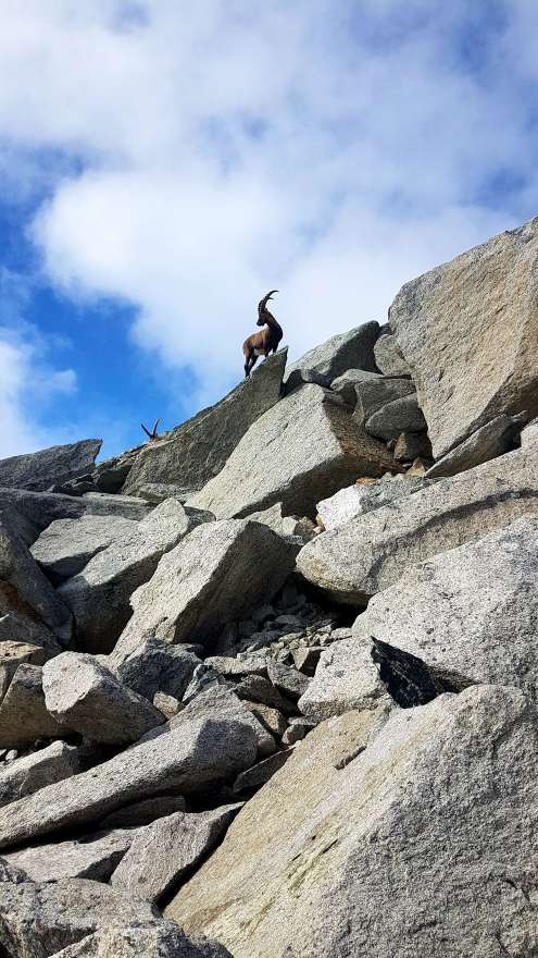
The local game
While you crawl up (compare with the previous photo), this is how the beast makes fun of you. The chamois has the ability to overcome the triple ridge on a completely different level than humans, it should also be noted that it has a dizzying speed to do so.
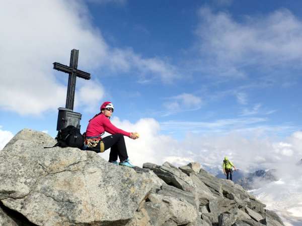
Keeskogel peak
The photo at the top cross must not be missing. We then normally ran down to the cottage in about an hour.
Day two
Großvenediger (3666 m), 1500 m / 2100 m, 18 km
Alarm clock before four in the morning. Breakfast and start with headlights – about an hour along the rock northeast of the cottage, then on a glacier dotted with cracks. The north-western ridge must be bypassed from the left, it is possible to climb it in two places, either at the very beginning, which significantly increases the length of the climb and the time required for the ascent, or from the saddle below the last part of the ridge. We chose the first variant. On the one hand, we wanted to climb, on the other hand, we no longer enjoyed climbing the glacier. The plan was to keep track of time, and as soon as we decide that we are not starting to „catch up“, we get down the saddle to the normal and finish the climb after it, after all, we still had a trip to the car and an evening return to Prague.
Nordgrat - NW ridge on Großvenediger
The ridge is photographed from below, the normal path is led from the left, it is not visible in the photo. The descent from the ridge through the first snow saddle is quite dangerous, because the slope of the slope is around fifty degrees, part of the expedition tried it. The ridge is not secured, most climbing sections are of difficulty 1–2, however the exposure is significant. The only place „for three“ in the first part we secured continuously, the rest of the ridge we went without securing. Harder climbing occurs only in the last section, there is one place rated as 4-, however, it is equipped with borháky. In the end, the decision was made to leave the ridge and come down the saddle before the last section, mainly for time reasons. We then conquered the summit in the normal way, while the fact that we descended from the ridge about two hundred meters of altitude took care of the sports performance, so that we could then ascend them over the glacier.
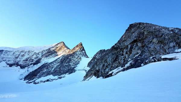
On the ridge
View to the top. Even double climbing can sometimes take a person.
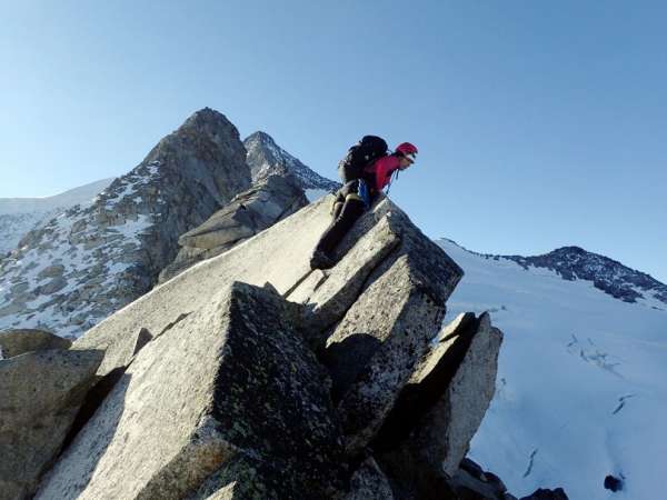
On the ridge, about 200 meters from the top
And here in that place, Lucka and I decided to get back to normal. It was in the snow saddle before the last section, where the possibility of retreat is indicated in the topo map. We girls listen to the map from time to time. The boys were braver, descending about an hour in front of us into the saddle, where there is an exclamation mark on the map and the note „steiles – eis, firnfeld“. They then admitted that they had to abseil one section.
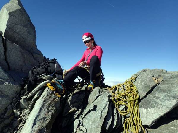
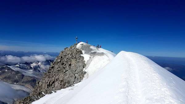
The top snow ridge of Großvenediger
The Großglockner is hidden to the right of the clouds. The Großvenediger’s summit cross is only a few meters away.
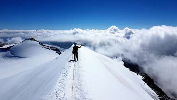
Top cross
Großvenediger peak. View to the east, where both Prague cottages are located.
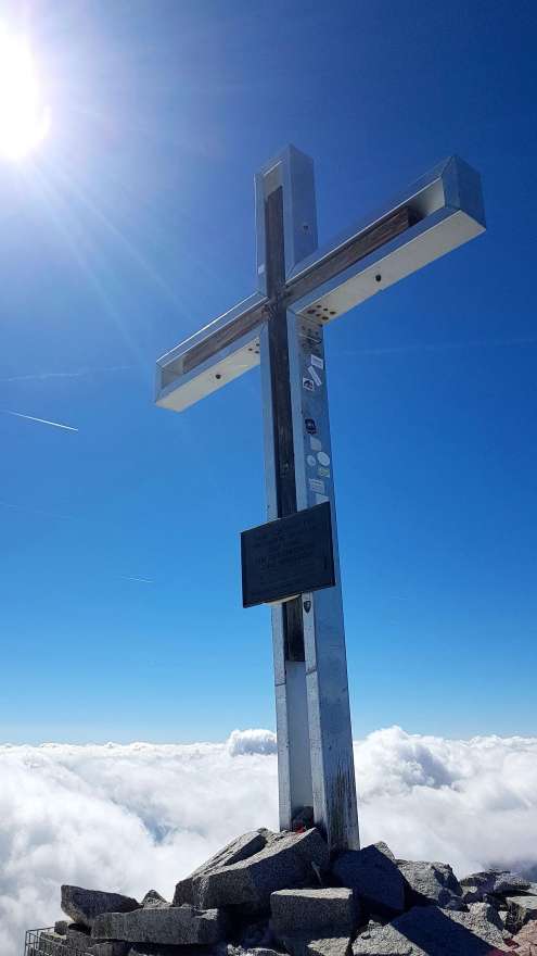
Top cross
We stood at the cross at half past one, that day we were still descending to the Kürsinger hut, descending from the hut to the car and returning to Bohemia.
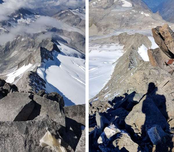
View of the Z ridge and the NW ridge from above
View down from the summit cross to the western and northwestern ridge. The western ridge – on the left – is also of difficulty AD, on the right is Nordgrat, which we went.
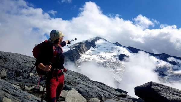
View of Großvenediger from Keeskogel
Both ridges still from below. At Nordgrat points Lucka, the western ridge is at right angles to it. The western ridge climbs from the snow saddle just below the top, so it is less time consuming than the northern ridge.
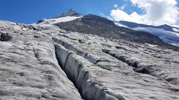
Großvenediger - View through cracks
The cracks begin massively as soon as they enter the glacier, from the place where the photo was taken, it is about a thousand meters high to the top.
Articles nearby
Giga List: Alpine ascents to peaks higher than 3,500 m
The vast majority of peaks in the Alps higher than 3,500 m above sea level are already among the most difficult ones with the… continue reading
Giga List: The most beautiful mountain ascents in Austria
Austria offers countless amazing mountain ascents, you will also find thousands and thousands of mountains here. Let's take a… continue reading
Giga List: Beautiful mountain climbs in the High Taures
The High Tauern is proud of Austria's highest mountain – the Grossglockner, and it is one of the main goals of climbers in this… continue reading
