Article Dorfbahn Königsleiten
By cable car to a height of over 2000 m


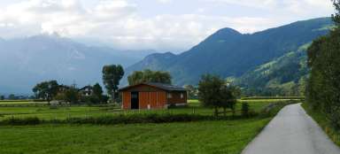
Excursion from the Ziller Valley on the B165 from Zell am Ziller via Gerlos to the town of Königsleiten and from there by cable car up to the mountain meadows.
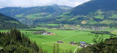
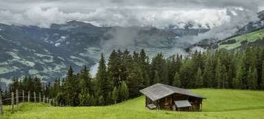
Königsleiten
We set off from Königsleiten by cable car. Gradually, the surroundings of the city appear, such as the traditional houses of neighboring Silberleiten.

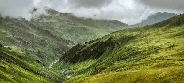
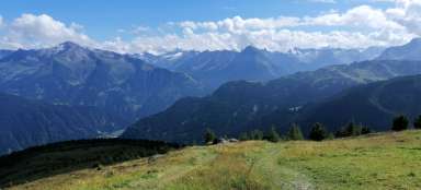
Above clouds
We are at an altitude of almost 2300 m. Large mountain meadows and the number of paths gives you the freedom to choose the next procedure.

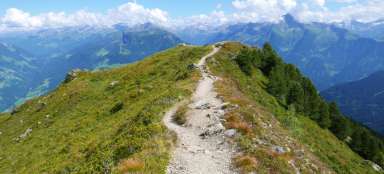
Müllachgeier
From the upper station of the cable car, the NW walking path leads to the Müllachgeier peak, less than a kilometer away (2254 m above sea level).

Alpine color
Alpine meadows include their typical users. In the current epidemic measures, all cows complied with the prescribed spacing and maximum numbers in groups. Bravo.

Königsleitenspitze
Southwest of the upper station of the cable car, after a short climb, this lookout peak is available at an altitude of 2315 m

Ponds
From the top of the Königsleitenspitze we continue NW around the lakes on the „Ochsenkopf Wanderweg“.

Alphorn
On the way back to the cable car we pass a traditional musical instrument, the Alpine horn.

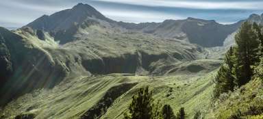
Wildgerlosspitze
The mountains play hide-and-seek with us: the Wildgerlosspitze (3280 m above sea level) and the surrounding peaks.

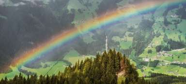
Another face of Austria
After returning from the changes in alpine weather, it is nice to involve olfactory and taste buds in the perception of changes in Austrian viticulture.

Articles nearby


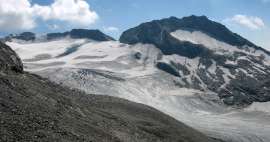
Giga List: The most beautiful hikes in the Zillertal Alps
The Zillertal Alps are one of the most glaciated Austrian mountains. The axis of this area is the river Ziller and the most… continue reading