A pleasant circuit of Podkrkonoším
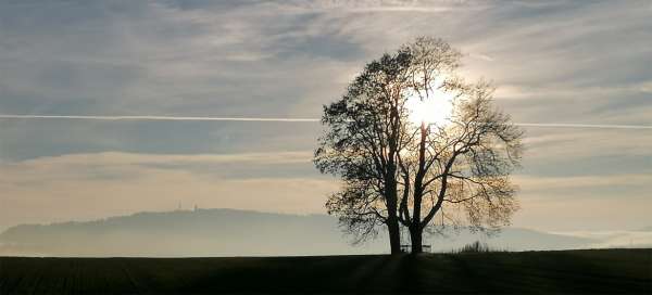
Nová Ves nad Popelkou is a good starting point for both cycling trips and hiking in the Krkonoše Mountains. Here you can either take a short walk to Knežsko or a longer circuit through Bělo to Libštát and another way back, which we will describe here
The beginning of the hike in Nová Ves
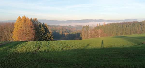
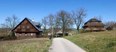
We start the hike from the parking lot at the church of St. Procopius. For the first two kilometers we follow the same route as for a classic walk . So we climb above the village with a nice view, descend to the pond and further climb to Kněžsko, here our paths split. The walk continues towards Císařova Hůrek, we go down to Běla.
Descent to Béla
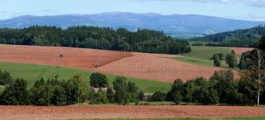
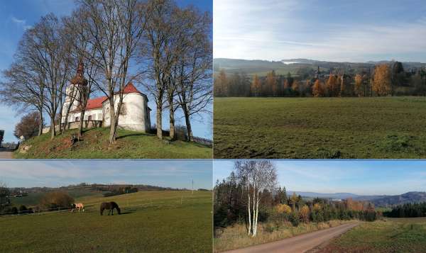
From Kněžská there is a pleasant descent to Běla (a little while after the new asphalt road, which cyclists will appreciate the most). The peak of Jíva (568 m) rises in front of us.
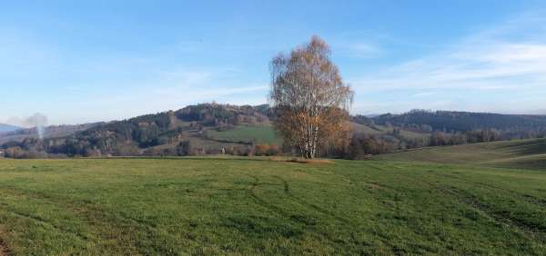
View of the Giant Mountains and Svojek
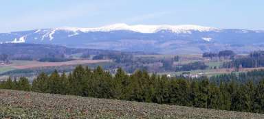
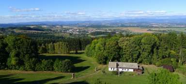
We will quickly pass through Běla and continue to follow cycle path No. 4277. Finally, we will climb the hill again and after a while we will have a view of the observation ridge towering over the village of Svojek and in the distance the Krkonoše wall.

On the Hills (522m)
The cycle path will take us to the crossroads at the western end of Svojek. Here you can shorten this circuit and head west straight to Libštát. We continue slightly upwards to the top of Na Vrších (522m), from where you have the Giant Mountains right in the palm of your hand. Ještěd and the Kozák ridge can also be seen. The top itself is quite flat a few tens of meters from the road.
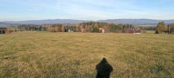
At the crossroads of Končina
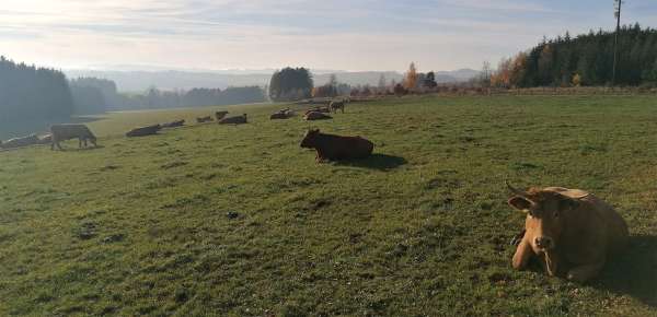
A little below the summit is the crossroads of Končina, where we turn west and after a while we pass a farm and surrounding meadows full of happy cows
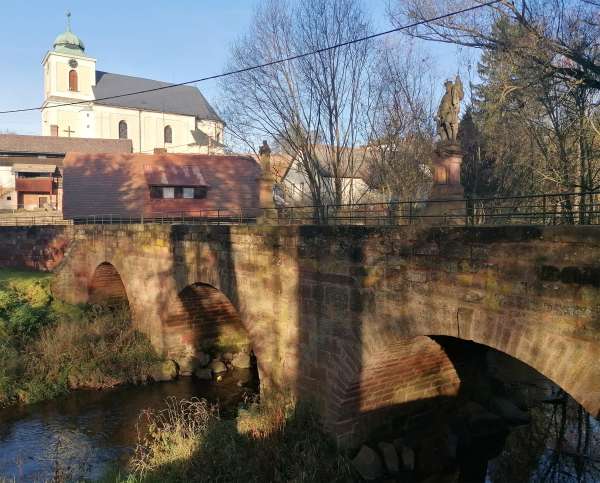
Libštát - church and bridge
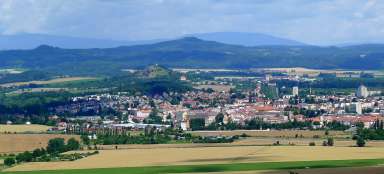
Right next to the cows is the settlement of Končina, where we will join the red tourist route connecting Lomnica and Jilemnica. Now we have a two-kilometer descent down the hill with nice views of Libštát. In Libštát, the historic baroque stone bridge and the church of St. George.
Above the Oleška valley
The road from Libštát first leads around the railway station and then rises above the Oleška valley. Previously almost without a view, now thanks to mining with views of the settlement above the valley
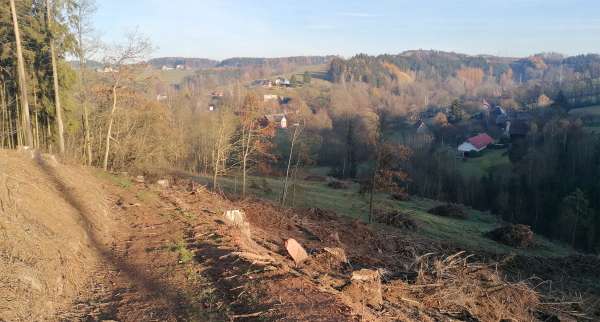
View of the Giant Mountains
The path climbs up and leads past the heights of U Jeřábu (517m) with a nice view of the Giant Mountains.
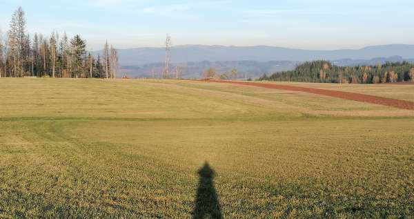
The road to Císařová Hůrka
At the eastern end of Lomnice nad Popelkou airport, we leave the red tourist route and follow the recently built asphalt road to the top of Císařova Hůrk.
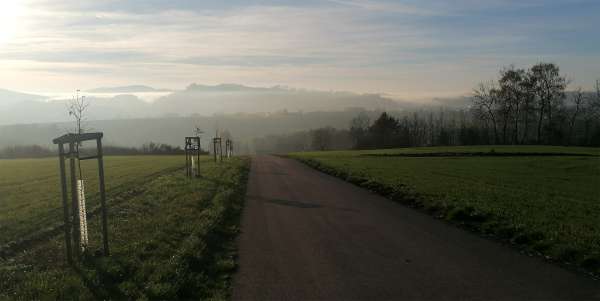
Views from Císařova Hůrka
There are very beautiful views of the Krkonoše mountains along the way. Below Císařová Hůrká, we rejoin the walking circuit and descend to Nová Ves.
It has a total circuit of 19 kilometers and an elevation gain of about 400 meters
