
Ascent to Estanys de Juclar
To the largest lake in Andorra


Andorra is not only a land of high mountains, but also a land of beautiful lakes. You can see this, for example, when climbing Pic de Tristaina (here: [https://www.gigaplaces.com/…e-tristaina/]) or Pessons (here: [https: / /www.gigaplaces.com/clanek-vystup-na-pessons/]). This time we will head straight to the largest of Andorran lakes, the Estany Primer de Juclar, located at an altitude of 2,295 m above sea level. The basic variant of the tour is not very demanding and takes about 6 hours.
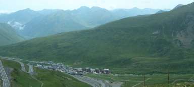
Vall d´Incles
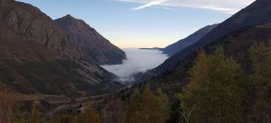
The route starts at the edge of the Vall d´Incles valley at the sharp bend of the CG-2 road between Soldeu and Sant Pere. The CS-270 road leads through the valley, around which there are various „scattered“ houses, including the local church. If you want to shorten the tour significantly, it is possible to drive almost the entire valley by car along this road to its end, to a place called Pont de la Baladosa. For hikers it is better to use the trail leading along the edge of the forest to the right of the road. The trail runs parallel to the road and offers nice views of the opposite slopes. At the bottom of the valley, the river Riu d´Incles meanders, which is formed by the confluence of the streams Riu del Manegor and Riu de Juclar, flowing from the lake Estany Primer de Juclar and which will accompany us all the way to the lake at a greater or lesser distance.

Waterfalls on the Rio de Juclar
While the first part of the path leads almost along the contour and the ascent is minimal, from Pont de la Baladosa the path begins at first slightly, later steeper. The Riu de Juclar and its apparently nameless tributary sometimes create waterfalls.

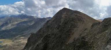
Valley view
As we ascend above, a view of the Vall d´Incles valley gradually opens up below us.

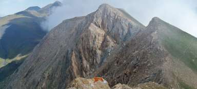
Debris
About 400 m before Estany Primer there is a turn to the left, which can be used as an alternative for the return descent into the valley (or you can get to other lakes or climb to one of the surrounding peaks). At the crossroads are the ruins of a building.

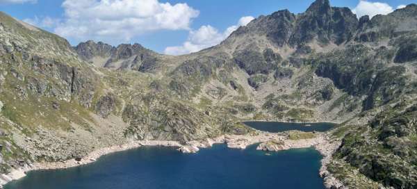
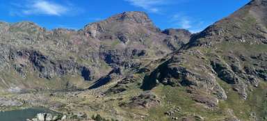
Estany Primer de Juclar
In a short time we are right by the lake. With an area of 21.9 hectares, it is the largest lake in all of Andorra. Above the lake is a tourist cottage where you can refresh yourself. A marked path leads around this cottage and the lake continues to go right, up the slope. In summer, at lower water levels, the lake can be bypassed directly along the shore at water level.

Estany Segon de Juclar
As the title of the article and especially the title photo suggest, there is another lake behind Estany Primer – Estany Segon de Juclar. It is located at the same height, but is significantly smaller, about 7.3 hectares.

Conclusion
The lakes are bordered on three sides by high mountain peaks, on the ridges of which cross the border between Andorra and France. The highest peak is Pic d´Escobes (2,776 m above sea level). If you still have enough strength, you can overcome it as well. Another way to extend the hike is to climb the saddle on the northern border and make a circuit around several French lakes (Étang de Joclar, Étang de l´Estagnol, Étangs de Fontargente) and over the saddle between Pic de Fontargente and Pic Negre de Juclar to return back to Vall d´Incles. The fastest option is to return the same way.

Articles nearby


Giga List: The most beautiful mountain ascents in Andorra
Although Andorra is only a small country, due to the fact that it is practically surrounded on all sides by the Pyrenees, it… continue reading
