Article Hike Samar – Chhusang
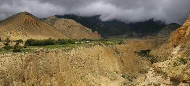
Return to the river Kali Gandaki


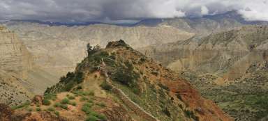
Mustang trek 8: Enjoyable half-day journey, during which we are getting back to the valley of Kali Gandaki. Although there are two mountain passes (Dajong La and Taklam La) behind Samar, the height difference is minimal. They are followed by the descent along good-quality path through valley of Ghyakar Khola. Then follow only another descent to Chele and along Kali Gandaki to Chhusang.
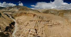
Canyon of Ghyakar Khola
Above deeply cut riverbed of Ghyakar Khola spans a narrow rope bridge. I recommend making a short detour from the path to Chele and try what the crossing of such a bridge can make with you. It may be a little different for everyone.

Encounter
The path in the rock wall is in places quite narrow and in other places it offers space for passing and meeting locals with their animals.

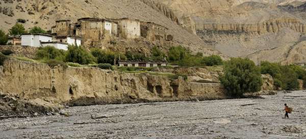
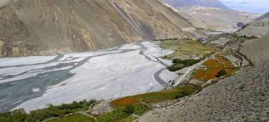
Kali Gandaki
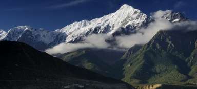
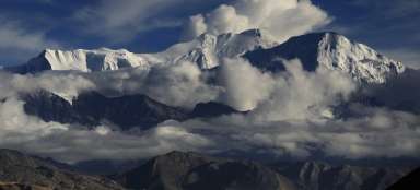
Chele village is situated on the rock cliff above the river Kali Gandaki. Last view to the north: say goodbye to a rugged path and landscape of Upper Mustang, at least according to altitude.

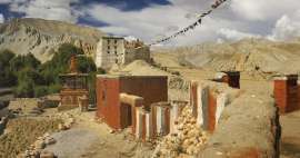
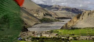
Chhusang
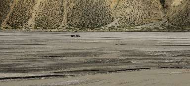
Before reaching the today's destination – town Chhusang (2 980 m asl) we still need to ford river.

River fording
There is not yet a bridge (as of 2012) and thus not only people have sometimes problems with wild waters of the local rivers.

Fossils
In Kali Gandaki river bed there is an incredible amount of interesting fossils. Their exports, however, is prohibited.

Chhusang
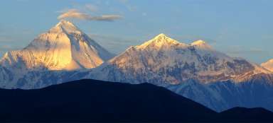
Today's stage was relatively easy. We have enough time to explore Chhusang and its surroundings. The path to mountain pass Gyu La (4 077 m asl) rises from there. Behind it is Muktinath, part of Annapurnas trek. It is an alternative extension with return to Kagbeni.

Articles nearby


Article: Trek in Upper Mustang
Trek in Upper Mustang takes you into the landscape of the upland plateau at an altitude of over 3,000 meters above sea level. The… continue reading
Giga List: The most beautiful stages of the Upper Mustang trek
Upper Mustang is a former small kingdom through which the trade route connecting Tibet with India passed. It now belongs to Nepal… continue reading