Article Hike Königsweg
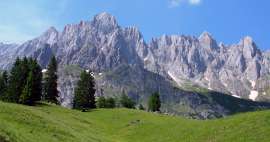
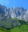
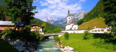
Beautiful march under the south wall of Hochkönig


The Königsweg hike, or the march from the Arthurhaus (1,502 m above sea level) to the Erichhütte (1,540 m above sea level), can only be part of a two-day circuit with an ascent to Hochkönig itself or a separate hike. In this case, however, you will have to go back the same way. Along the way, breathtaking views of the monumental southern wall of the Hochkönig and distant views of the Hohe Tauern
View from Arthurhaus
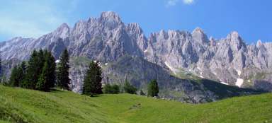
The hike begins at the end of a mountain road at an altitude of about 1510 meters above sea level. Right from here is a great view of the rock towers. From here we head west along the Königsweg. The road leads east to Mitterfeldalm and further to the top of Hochkönig

Picturesque road
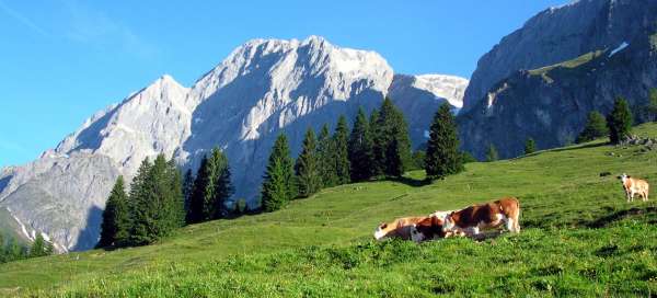
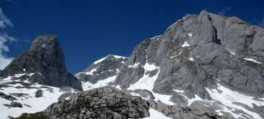
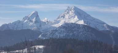
The path leads through meadows with sporadic trees and constant views of the Hochkönih massif. From the beginning of the tour you can see mainly two peaks – a small pyramid Wetterriffl (2,619 m above sea level) and above it a large Großer Bratschenkopf (2,858 m above sea level)

View of the Tauern
The peaks of the majestic Hohe Tauern rise on the southern horizon

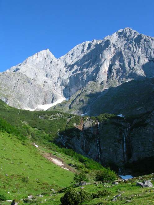
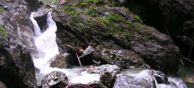
View of the waterfalls below Großer Bratschenkopf
After less than an hour of leisurely walking, you can also see the small waterfalls below the mighty Großer Bratschenkopf mountain. Here you will find the biggest descent on the whole tour and then the ascent if you return the same way

At the waterfalls
Even at the beginning of summer, waterfalls are just small streams. Even so, it is a very nice scenery.
Mountain huts
From the waterfalls you can climb almost 150 meters high to the meadows, where there are a number of mountain huts. There is also free drinking water, which is really needed on a sunny day.

Exit path to Hochkönig
From these places you can see another exit road to Hochkönig. It's the gutter, still snowy at the beginning of summer. On the left you can see the peak of the Taghaube (2,129 m above sea level), where a hiking trail also leads. The famous Königsjodler ferrata also leads along a sharp ridge

Looking back
The look back is also worth it and shows what this tour is all about – the endless views of the Hochkönig massif

View from Erichhütte
After less than 10 kilometers (approx. 3.5 hours, 700 m ascent and 650 m descent). You are at the finish at Erichhütte. The views of the valley are nice from here.

Way Back
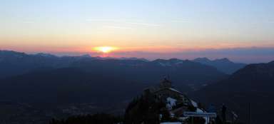
If you have a car on Arthurhaus there is nothing left but to go back from Erichhütte the same way. Or you can go to Hochkönig from here to sleep on the top of the Matras Haus and not return until the next day

Articles nearby


Article: Tourist trip to the Hochkönig area
Hochkönig is one of the highest peaks of the northern limestone Alps. In addition, it is a beautiful area of meadows and mountain… continue reading