Article Ascent to Medenec
The peak above the Jizera canyon


If the Rieger Trail is the most famous hike in the Semily region, then the Kamenický Trail is number two here. However, both of them also lead in the same beautiful location above the Jizera canyon – Kamenický stezka, however, significantly higher. The first, less known part of this trail is the ascent from Podspálov to the forested peak of Medenec (544 m above sea level). On this tour you will find mainly beautiful views of the Giant Mountains and the Jizera Mountains and Ještěd.
Above the Kamenice valley
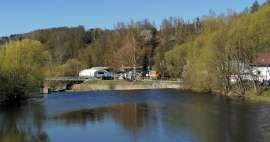
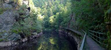
The ideal start to the Kamenický route is in Podspálov, which is accessible by train on the Železný Brod – Tanvald route. However, most tourists come here on foot from Semily along the Rieger Trail. The Kamenický trail is an ideal return route for this trip through the Jizera canyon. From Podspálov, it climbs through the Kamenice valley along a relatively busy road. Fortunately, the blue hiking trail turns into the forest after a while, where you will climb the direction of the village of Spálov. Across the valley of the river Kamenice you can see houses standing just above the canyon.

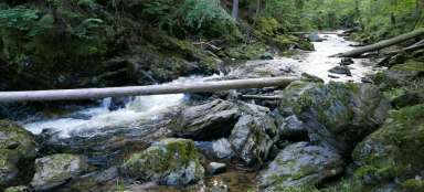
View of the Kamenice valley
There is not much view when climbing Spalová. Thanks to one felled slope, however, at least one is.

Meadow near Spalov
After a half-hour ascent from Podspálov, you finally climb out of the forest and walk along the meadow to Spálov. Nice views of the region are beginning to open up.

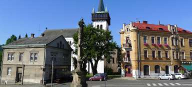
Chapel in Spálov
Spálov is a partly recreational village with partial views of Ještěd and the Giant Mountains. The main place is the chapel in Spálov. The blue hiking trail leads from there on through the village and then disappears into the forest. If you follow it you will lose the most beautiful views on this trip. Therefore, go from the chapel up the narrow asphalt road.

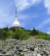
Original view of Ještěd
The asphalt road slowly rises and the magnificent views to the west begin to open – the Ještěd hill rises above everything. Deep in the Jizera Valley is Železný Brod. The „broken“ Rálsko also peeks out slightly.

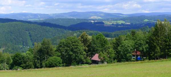
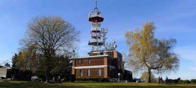
View of the Giant Mountains and Bozkov
Follow the asphalt road to the mobile operator's antenna. From here, you only need to walk a few meters across the meadow and you are on an amazing view of the Giant Mountains and the village of Bozkov, known mainly for its cave, which is nearby. The dominant peak on the ridge is Kotel, which looks different from here than from the classic views from the Giant Mountains.

View of the Jizera Mountains
The view from here is really great, so an ideal place for a snack before the next march.

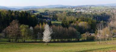
Wide view of the region
Return to the antenna from the vantage point. From here, the forest path leads slowly upwards along the meadows. The outlook is still absolutely great.

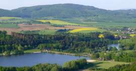
View of the Černostudniční ridge
Before you go into the forest, enjoy the view across the meadows to the Kamenice canyon and the Černostudniční ridge on the horizon. The chapel in Spálov is directly below you, so it is good to see that for beautiful views you only need to connect a short distance.

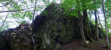
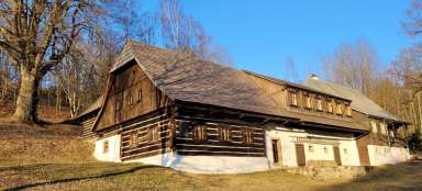
Bouda pod Medencem
As soon as you enter the forest, you are basically just a few meters above the blue hiking trail, which you can easily walk down the footpath. There is also a forest hut, where locals probably do celebrations.

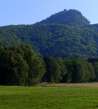
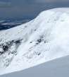
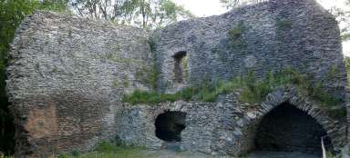
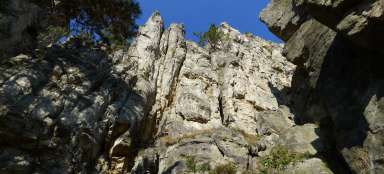
Medenec (544m asl)
It is only a few meters from the cottage to the top of Medence, which is just a round ridge. It is hard to believe that the western slope of this hill falls quite steeply 250 meters lower to the Jizera. From here, continue to the famous Myší skála and continue along the blue and then yellow path to Semily.

Articles nearby


Giga List: The most beautiful views of the Bohemian Paradise
Bohemian Paradise is a place where you will find dozens of amazing views – both from the tops of the local hills or lookout… continue reading
Giga List: The most beautiful trips from Semil
Semily is located on the northern edge of the Bohemian Paradise and at the same time in Pojizeří. The most famous trip is the… continue reading