Vchýnicko - Tetovský navigation canal
The water work from the 18th century still serves today


The navigation canal was built by the Schwarzenbergs at the turn of the 18th and 19th centuries to float timber around the navigable section of the Vydra River. Since 1942, 9.5 km of the original work has been used as a water feeder to power the Vydra hydroelectric power plant. The rest of the canal now serves only as a water overflow into the river Křemelná. The name of the canal was given by the settlement Vchýnice – Tetov, which stood nearby in the valley of the river Vydra. – industrial heritage.
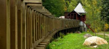
Gate bridge
The canal begins at a unique wooden bridge with granite pillars 72 m long and 3.5 m wide, located 2 km north of the village of Modrava. floated down the river and directed it into the canal. During the float, wooden gates were installed in the connecting beams between the pillars, capturing freely float wood, and the name of the bridge was created accordingly.

Road over a wooden bridge
It is interesting that the road from Modrava to Srní led along this narrow wooden bridge until 1959.

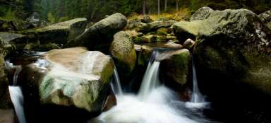
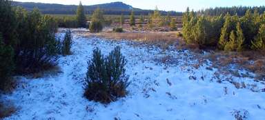
Path along the canal
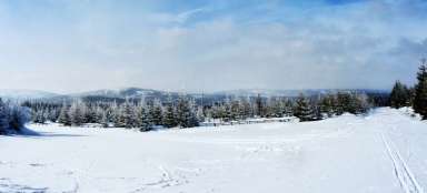
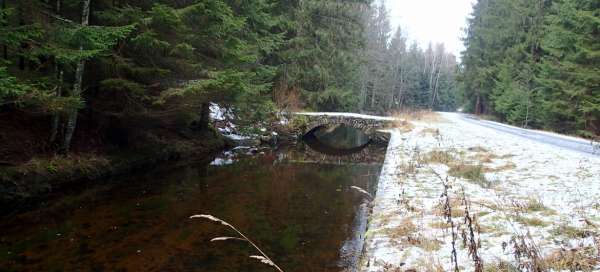
The canal gradually descends along the contour line, so it is an easy walk or cycling trip. Remains of a walled riverbed have been preserved in a number of places along the canal route. There are a total of ten original preserved arched stone bridges on the route

Turn to Hauswald chapel
After 8.5 km of comfortable walking or cycling, we reach a turnoff to the Hauswald Chapel. If we have some time, a small walk 400 m uphill is really worth the effort.

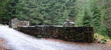
Inlet object
After another 1 km from the turnoff to the Hauswald Chapel, we arrive at an interesting place – the inlet building. From here, water is led through an underground pipeline with a length of 3218 m to the Sedlo accumulation tank.

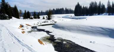
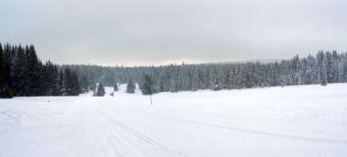
Storage tank and water lock
We continue along the canal along a steeply descending nature trail, after about 3.5 km the canal disappears and the water is drained into the Křemelná river. After another 1 km, we reach the Sedlo storage tank measuring 155 × 116 m, which is capable of holding 67,000 m3 of water. From the reservoir, underground water flows through a 500 m long pipe into the water castle. It is not the residence of a lake queen, as one might misinterpret, but it is a balancing chamber. This technical structure is used to regulate the inflow of water to the turbines of the hydroelectric power plant. This ecological energy source produces around 25,000 MWh per year. Here our walk along the canal after 15 km ends, from there we can walk 2 km to Srní.