Drive the Siddhartha Highway
From Pokhara to India


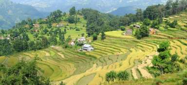
Siddhartha Highway or in Nepalese Siddhartha Rajmarg is one of the most exciting Nepalese roads leading from Pokhara through the green hills of Lower Himalayan (or Mahabharata Range) up to the Terai plains bordering with India. Most travelers going through here travel around the country between India and Nepal, or want to visit Buddha's birthplace in Lumbini. Anyway, you will enjoy here mountain ridges overgrown with lush jungles, impressive rice fields on steep mountain slopes and deep valleys. But the way is tiring, because you will be driving those 180 km for more than seven hours.
Area behind Pokhara
Set out from Pokhara along the long plain (practically the only one on this whole journey) in the same direction as when it goes to the World Peace Stupa, and then await you kilometers and kilometers away high above the valleys.

Nepalese barriers
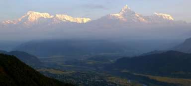
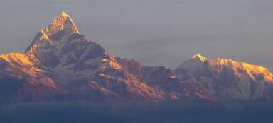
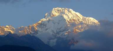
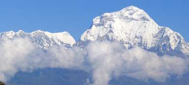
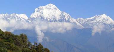
There are only low concrete bollards at the edge of the road instead of the barriers that would probably not prevent the possible fall into the ravine. After a few tens of minutes you come to the village Naudanda (1 043 m asl) situated on a mountain ridge. From here is in good weather renowned panoramic, although a bit longer distant, view of Annapurnas.

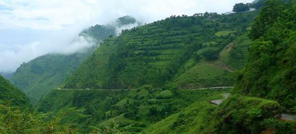
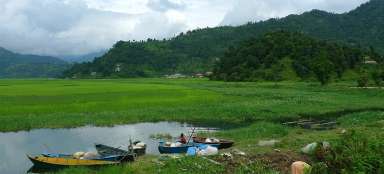
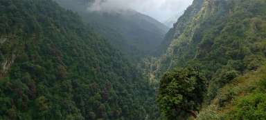
The way through Aadhi Khola valley
The path then leads for long kilometers through the valley of Aadhi Khola that collects from the surrounding mountain slopes more and more water. The whole area of Lower Himalayas is very moist; there is a lot of water especially during the monsoon season.

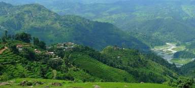
Journey through the Lower Himalayan
The road overcomes many low passes and the ride takes a really long time. Count with the velocity 30km/h at maximum.

Green valley
Surroundings of the road is not very densely populated. There is not more than one house on some slopes except for the rice fields.

Lowland Terai
The mountains suddenly spread out and before you is a hot densely populated plain. Although you are still in Nepal, it is hard to recognize it from India.
You can either continue straight to the border and on to Varanasi or make a small detour to Buddha's birthplace in Lumbini.

Articles nearby


Giga List: The most beautiful trips from Pokhara
Pokhara is the second most visited city in Nepal after Kathmandu. Directly from the city you can take some very nice one or more… continue reading