
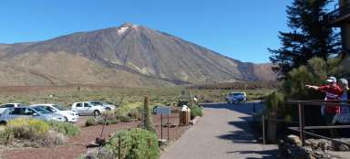
Take the cable car to Pico de Teide
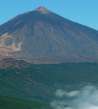
Slightly on the highest mountain in Spain

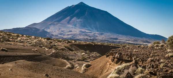


All guides write about it, it is perhaps the most famous symbol of Tenerife, some climbed to the top from the foot of the stratovolcano, others helped themselves by cable car. But every visit is interesting, after all, the views and sometimes the weather changes are worth it.
Cableway
Probably the simplest option is to use a cable car. Some technocratic data: the lower station is at an altitude of 2356 m, the upper at 3555 m, the cabin can accommodate up to 44 passengers and the journey takes 8 minutes. The price of the return ticket is (2018) 27, – EUR.

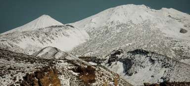
Pico de Teide
The top of the stratovolcano is at an altitude of 3718 m. However, the ascent is not for everyone, because you need a permit for it. this can be obtained electronically on the national park website, but it is recommended to arrange it in time, no later than one month before the planned visit.

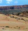
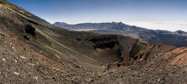
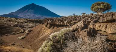
Caldera
During the ascent, the views of the apocalyptic landscape of the central caldera are increasingly revealed.

Islands
To the east you can see the neighboring island of Gran Canaria. If you know where to look, you will also find its iconic rock formation Roque Nublo. On the contrary, the island of La Palma appears to the west.

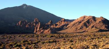
Fortaleza
to the north below us is another interesting formation, the rock wall of Fortaleza (2159 m above sea level). from the El Portillo information center, a path leads here and the view from the rock ridge to Teide is fascinating. It's definitely another good type of trip.

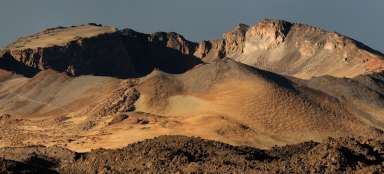
Caldera
The middle part of the central caldera looks like a platform from this height. In fact, it is quite rugged and there are several hiking trails.

North of the island
To the north, above the horizon, the peaks of the Anaga Mountains rise.

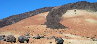
Caldera
Above the western part of the central caldera, filled with black lava fields, other peaks rise, along which a ridge path leads.

Teno
The view from Teide is truly circular. The westernmost part of Tenerife is the Teno Mountains. The gateway to it are the towns of Erjos and Santiago del Teide. and one more piece of advice at the end: don't underestimate the acclimatization and step on one of the marginal peaks of the caldera some day before Teide. A quick car / bus ride, followed by a cable car, may not be well tolerated by everyone (especially during the final ascent to the top of Teide).

Articles nearby


Chtěli jsme tam pěšky, ale povolenky byly rozebrány na měsíce dopředu, vylezli jsme aspoň na vedlejší Pico Viejo. Lanovka na Teide je samozřejmě s frontou, ale výhled je nádherný, určitě to stojí za to i s těmi davy turistů. Mimochodem, správný název je Pico del Teide (i na české Wiki je to chybně).