Ascent to Wetterhorn (3692 m above sea level)
Beautiful hill with a beautiful and well-deserved view

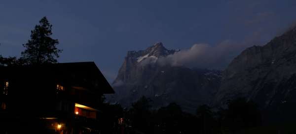

Together with the Eiger, Monch and Jungfrau mountains, the Wetterhorn dominates the small town of Grindelwald. They rise to a height of 3692 m above sea level and with the adjacent Mittelhorn are ideal for already somewhat experienced climbers. The name itself is very convenient, as you may encounter very changeable weather here. The terrain is also quite diverse. Those who try to conquer Wetterhorn must prepare to cross a small glacier and climb in the mix. Reaching the top is definitely not free, but it's worth it.
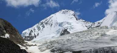
Wetterhorn from the Eiger trail
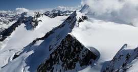
View of the north face of Wetterhorn from profile. The peak can also be reached in this way, but it is the most difficult variant of the ascent. The easiest option is via Willsgratli in the west wall.

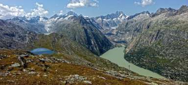
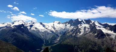
Panorama of the boarding
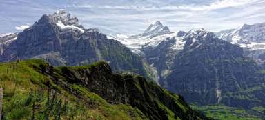
Beautiful view of Schreckhorn, Monch and Eiger from the boarding.

Sunrise over the Bernese Massif
Sunrise from the glacier at the foot of Wetterhorn. After passing this short slide, there is a rock climbing along the Willsgratli ridge.

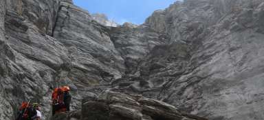
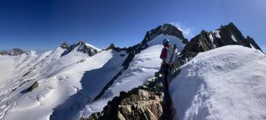
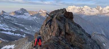
From the Willsgratli ridge
About 500 meters of altitude rises along the Willsgratli ridge. This is not difficult climbing, but great care is still needed. There are many loose stones and falling snow.

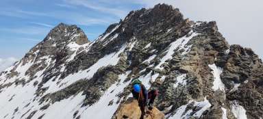
View of the Eiger and Monch
Panorama from the final part of the Willsgratli ridge. From here it is about 200 meters above sea level to the top, exclusively after snow.

Deserved view from the top of Wetterhorn
Panorama of the Bernese Alps. From left Mittelhorn (3704 m asl) – Barglistock (3630 m asl) – Schreckhorn (4078 m asl) – Monch (4107 m asl) and Eiger (3970 m asl).

Articles nearby


Giga List: Alpine ascents to peaks higher than 3,500 m
The vast majority of peaks in the Alps higher than 3,500 m above sea level are already among the most difficult ones with the… continue reading