Area Fuerteventura
In the world of volcanoes and rocks

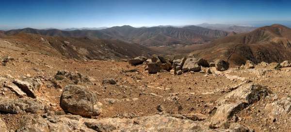


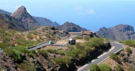
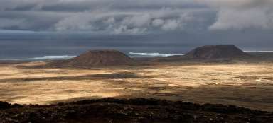
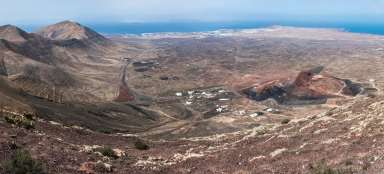
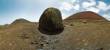
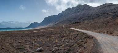
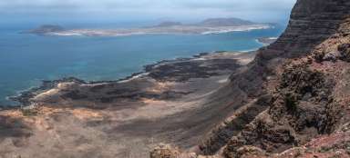
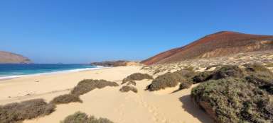
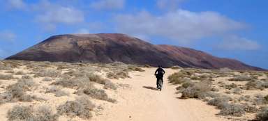
Fuerteventura is the second largest island of the Canary Islands. Together with Lanzarote, which is only 25 minutes north away accessible by ferry, it is the easternmost island and therefore it is the closest to the African continent. Fuerteventura is the world of rocks, volcanoes in various condition, cliffs, sand dunes, windmills and long beaches with spectacular yellow sand on the east coast. On the west coast are partially accessible steep cliffs, in which the ocean excavated a number of holes and caves by its ruthless surf full of high waves. Some of them are accessible with caution. And caution is indeed in place. Each „ninth wave“ (generally every) can be surprising and drown the person inside by wild foamy water. There are also crosses commemorating those unlucky fellows. Fuerteventura is frequently visited by surfers – both by beginners and experts. Inland of La Palma island has a low density of population and there is just a little natural vegetation here. Everything what grows here is more or less irrigated. Hikers and trekkers can enjoy it here as well. The best preserved volcanoes can be found in the north. In the middle of the island is pleasant mountainous terrain and it is also in the very south, where is the highest peak Pico de la Zarza (812 m asl). Some paths are marked, but in mountainous areas, where is on the map a dotted path, in fact, the marking is often missing. It's up to you whether you evaluate the terrain as passable or not.


Articles nearby


Giga List: The most beautiful Canary Islands
Canary Islands is one of the most beautiful archipelago in the world. Each of the islands offers something a little different, so… continue reading