Trip by cable car Rofan Seilbahn
A trip by cable car to the center of the Rofan Mountains


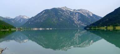
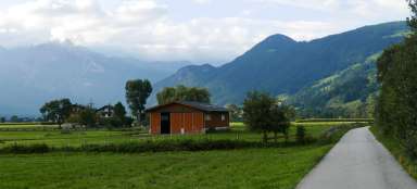
The use of the Rofan Seilbahn cable car is the most frequent start of a hiking trip to the Rofan Mountains. The lower station of the cable car is in Maurach, just 1.5 km from the famous Lake Achensee. Without the use of the cable car, you would expect about 7 kilometers and 900 altitude meters as a bonus. The cable car runs from 08:30 and there is a large car park (paid).
First views of the Achensee
The Rofan Seilbahn cable car is quite historic and works so that there are only two cabins – one going up, the other down and passing in the middle. In addition, there is an operator in each of these cabins. No wonder there are quite queues here on nice days. After a short drive, beautiful views of Lake Achensee begin to open up

Looking up
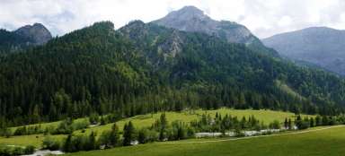
The destination of our route can be seen from below, rising 900 meters higher. The upper station of the cable car is built on a rocky edge, from which the terrain falls vertically down. On the other side is a nice mountain meadow

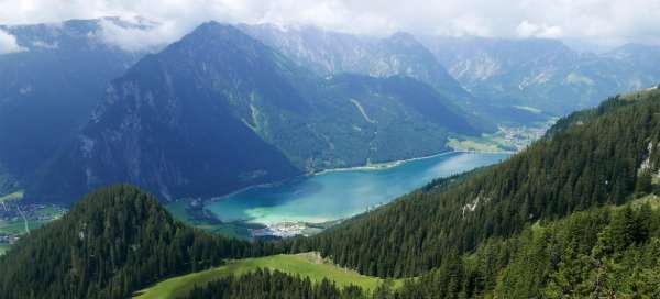
The best view of the Achensee
After you go to the upper station of the cable car, there are many options for where to go next. Most want to be the first to have a nice view of Lake Achensee. The worst is from Berggasthof Rofan (much shaded by trees). It is better from the Erfurter Hütte terrace. But it is best if you go as if to go down the cable car. From there, the view is the best

Erfurter hut
Right next to the cable car station is Erfurter Hütte – the largest hut far and wide. In nice weather, its summer terrace with amazing views is absolutely great

View of Gschöllkopf (2039 m)
Finally we can look around. Directly opposite us is the beautiful peak of Gschöllkopf. The possibilities for hiking are really extensive from here. From here, there are 5 marked routes, which you can combine in various ways.

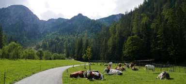
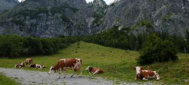
Alpine classic
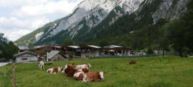
The meadows around the mountain huts are traditionally inhabited by cows

Mauritzalm
Another option for refreshments is the Mauritzalm, along which probably the busiest hiking trail leads in the direction of the highest mountain of this „pocket“ mountain range – Hochiss (2299 m)