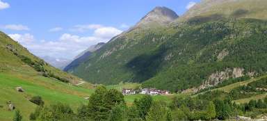
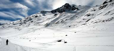
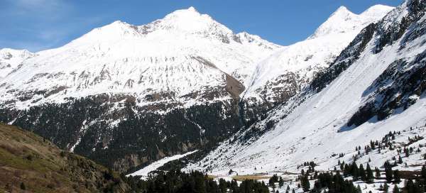
Hiking in the valley Rofental
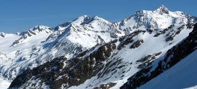
Starting point to Wildspitze

Wrote 2420 articles and follows him / her 243 travelers
They been there:
They want there:

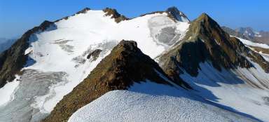
Rofental valley in Ötztal Alps is popular mainly due to a variety of ascents you can undertake from it. In addition, the canyon of the stream Rofenache is very picturesque in itself. The starting point to the valley is at ski and tourist resort Vent. Within reach are another five mountain huts, from where you can set out to the surrounding peaks. The most tactical location has Hochjochhospiz lying in the heart of the valley, from where lead a great number of star-like hiking trails.
Wandering through the Rofental valley
- The classic excursion route through the Rofental valley leads just above the canyon along the main alpine route 02 from Vent via Rofen directly to Hochjochhospiz (half a day walk) – Alternatively you can go the „high route“. From Vent via Stablein to Breslauer Hütte (starting point at Wildspitz) and continue down the slope to the Vernagthütte hut. From there down to Hochjochspiz (2.5 days)
Hike Vent - Rofen - Hochjochhospiz
Walk in the valley Rofental
Rating:
Very pleasant about 2–3 hour lasting walk from Vent to the intersection of hiking trails – Hochjochhospiz… continue reading


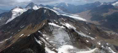
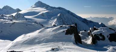
Tours and ascents from Hochjochhospiz
- You can head straight from the chalet to the top of the Mittlere Guslarspitze (3,128 m above sea level). – The classic trip leads to the very beginning of the valley, or to the border ridge to the Schöne Aussicht. If you are not limited by vehicle, you can continue to Italy from there. – The ideal return route is to cross the Saykogel mountain and descend through the Niedertal valley back to Vent (great circular route)
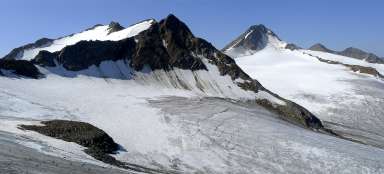
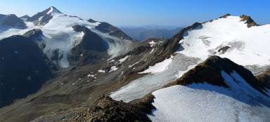
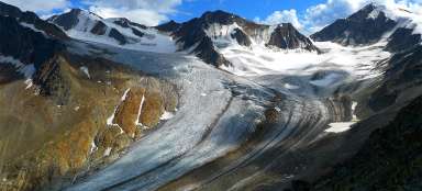
Ascent to Saykogel from the west
Above the glacier arena
Rating:
Ascent to Saykogel is possible in two ways – either from the valley of Niedertal or Rofental. Most of the… continue reading


Applaud the author of the article!
Share it on: