Hike La Cumbre - Apacheta Chucura
Start of El Choro trek


El Choro trek 1: Start of El Choro trek is at the highest point of the road from La Paz to Coroico – in La Cumbre pass (4 660 m asl). From here awaits you a relatively short ascent to the pass Chucura (4 870 m asl) with magnificent views and then just infinite descent.
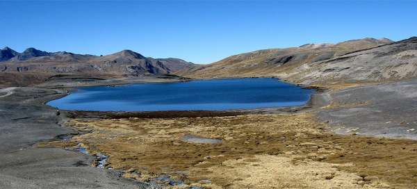
Lagoon Estrellani
Once the bus drops you off in the pass La Cumbre , you can immediately enjoy local barren only with yellow grass-covered landscape with nice and quite large lagoon Estrellani (600×400 meters) just below the pass. You will probably set off for the hike alone, but just a short distance from you will be very busy – maybe even tens of cyclists start here every morning for the descent on the death road, which is also a very nice experience.

The entrance to the National Park Cotapa
At the shore of the lagoon is a small house of guardians of park Cotapata. You need to sign here to the guestbook.

On the way around Altiplano
From the house of the park guardians it is about a kilometer and a half along jeep gravel road to the other two lagoons. In fine weather is the path very easy, because Chucura pass is almost always visible. But there are quite often thick clouds of fog and it's then worse.

Direction indicator to El Choro
There is also a direction indicator not to continue along the „main“ gravel road, which is according to map the official Highway 41 leading to La Paz – but probably not used by anyone if nice asphalt road is right next to it.

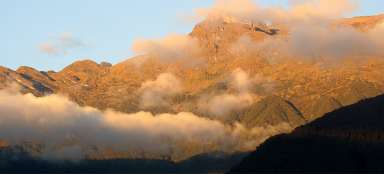
View of La Cumbre
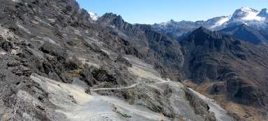
After an hourly ascent you will finally reach the pass Chucura. In the south direction there is a nice view of your previous path along the upland plain. The path is passable even for minibuses up to the pass, so organized groups are taken up here.

Ascent to the mountain Cumbre
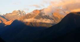
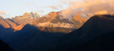
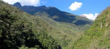
Giga T!P: Rather than quickly dash like almost everyone from the pass to the other side to the valley Challapampa, it is better to make a short trip along the flat ridge to the east. In a while will open great view of both the pass and the long part of the descent path, but mainly of the glaciated peak of Huayna Potosi (6,088 m asl), which is not visible from the pass Chucura. This outlook mountain is only by a few meters lower than 5000 meters above sea level.

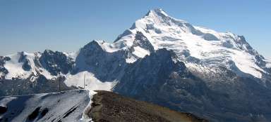
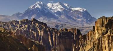
View of Huayna Potosi from mountain Cumb
Huayna Potosi is a beautiful peak.

Articles nearby


Article: El Choro trek
The most famous Bolivian trek leading along the old inca trail is El Choro. Within just a few days you pass several vegetation… continue reading