Article Ascent above Tongul
To glacier couloir


From the village Tongul lying directly in the places where Suru river flows in a narrow canyon, you can walk straight up along a glacial stream up to the couloir of abandoned mountains overlooking the waterfalls and green meadows. However, there are more interesting alternatives for a single trip, but in combination with a trip above Suru valley it is pretty interesting and exacting program for a day.
Near Tongul
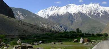
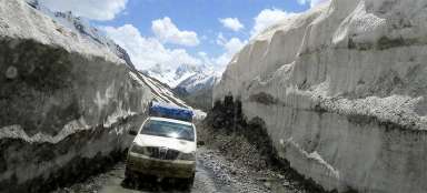
Tongul (3 350 m asl) is situated in places where the road overcomes wild canyon of Suru over the small bridge. View of the ridge is amazing also from here. But do not cross this bridge and ascend along the minor road to the top part of Tongul.

At the hotel, school?
It will be difficult for you to believe that the small rivulet beneath you flowing in a narrow canyon is the same Suru River, which is more than 200 meters wide a bit further.
If you accidentally cross the river over the road bridge, you still have a possibility to go back to the right path at the new building working as a hotel or school.
On the horizon you will be accompanied by the peak of Kun towering above the ridge.

Above the canyon
From this picture is obvious the beginning of entire ascent – directly opposite the new building near the old bridge over the river.

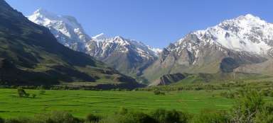
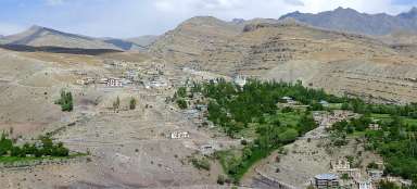
Oasis of Tongul
Thanks to water from glaciers there is a beautiful oasis. The path rises along trodden pastoral paths straight up the stream.

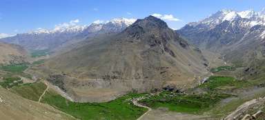
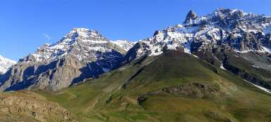
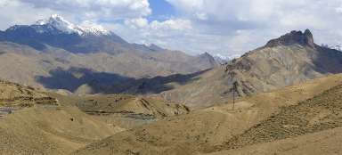
Above Suru valley and Tongul
After an hour and a half of the ascent from Tongul you will already have a pretty nice view of the entire valley. If you went along the recommended path above Suru valley, you could save 100 to 150 altitude meters, but you will need to cross the river – which may be impossible in bad weather and you would need to descend down to Tongul to the bridge then.

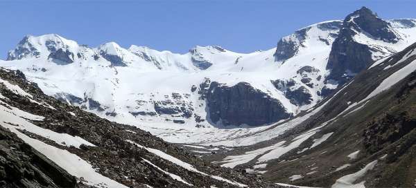
Panorama of Suru
The ascent of a few hundred altitude meters above the valley is tiring, but the views are worth it, even though the views above Tarangoz are a little better.

Amazing waterfall
The valley closes with increasing altitude, views down disappear and the terrain is more and more difficult, especially in early summer, when snowy fields begin to appear at the height of about four thousand meters above sea level. But directly against you is an amazing waterfall that is worth seeing. Also the couloir at the end of the valley slowly begins to appear.

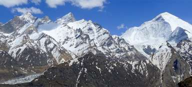
Glacier couloir
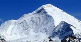
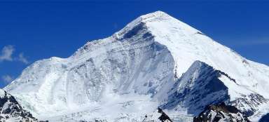
If you expect to see Nun from closer or from another interesting angle, you will be a little disappointed. The valley is closed by five thousand meter high ridge without any significant and interesting mountain.
The way back is exactly the same. If you are staying in Panikhar and you are not lucky for a bus or stop, you still have to expect a three hour walk back along the road!

Articles nearby


Article: Hikes from Panikchar
The village Panikchar lies just a short distance from the place where river Suru radically changes its direction and turns… continue reading