A trip to the petroglyphs in Cholpon Ata
Interesting hiking north of the lake

Cholpon Ata is famous mainly for swimming in the Kyrgyz Sea – Lake Issyk-Kul, but you can also take an interesting tourist walk here, in addition to the largest historical landmark – ancient petroglyphs. If you have more time to explore the mountains north of Cholpon Ata, this is the first and easiest stage of this trek to the Kungean Alatau.
Unused airport in Cholpon Ata
Petroglyphs are located about 4.5 km away from the city center at its northwestern end. Most tourists therefore rent a taxi and go directly to the entrance to this area. It is quite interesting to walk there, as you will also see a few historic houses from the Tsarist period, a mosque, the largest market, but most importantly you will be able to walk around the canceled airport, where the locals shorten their way along the runway. A possible „medium“ option is to get on a marshal heading in the direction of Bishkek and get dropped off at the airport (saving 3.5 km of walking).

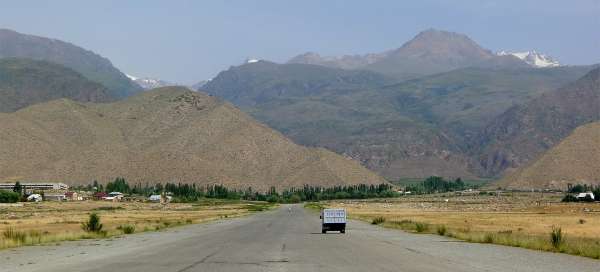
Traffic at Cholpon Ata Airport
Less than two kilometers long airport in Cholpon Ata now serves only for locals as a pleasant shortcut to the main road

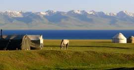
Municipality 3
Right next to the airport is a half-inhabited housing estate with a prosaic name – Village 3. Simply built-up buildings in Kyrgyzstan will rarely captivate you.

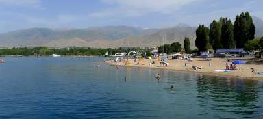
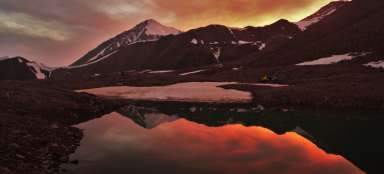
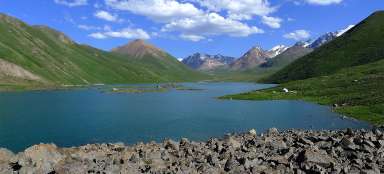
View of Lake Issyk-Kul
The runway leads uphill (up to a total of 80 meters), so the view of the lake is getting better.

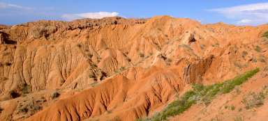
Plain with petroglyphs
Just some two hundred meters from the end of the runway is a location with petroglyphs. There is a fence on the south side and an entrance is paid at the gate. However, most of the space is not surrounded, so it's up to you whether you pay (the most famous stone with a petroglyph is, however, right next to the house with a guard). The area is very large, about 800×300 meters with hundreds of stones. Only some of them show something and there aren't many signs here – so it's almost a detective job to find some of them.

Herd of capricorns
The most famous stone depicts a large hunting scene with a whole herd of huge capricorns.

Petroglyph with deer
Some paths lead to some petroglyphs, and most of the most important ones are right from the start

Ibex petroglyph
One of the most popular petroglyphs is the one with a beautiful ibex.

Bůžkové
Unlike petroglyphs, the gods will not be that old

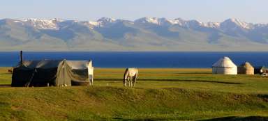
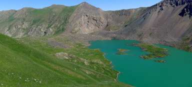
Walk along the water
If you want to go for a walk further „inland“ after a tour of the petroglyphs, continue north. about a kilometer from the beginning of the „field“ with petroglyphs. You will reach a river that supplies water to basically the entire Cholpon Atu. As part of this walk, calmly cross the bridge to the other side and continue along the footpath. However, if you are planning a 2–3 day trek into the interior of the Kungean Alatau, follow the dusty road on the west side of the river, which will take you to the mountains faster.

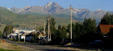
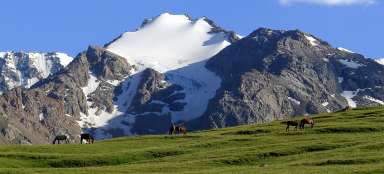
Walk through the valley
The whole area around the road is completely arid outside the short green belt along the water.

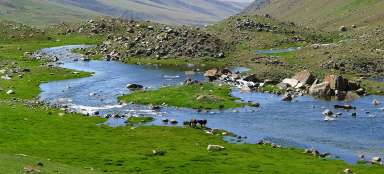
Relax by the water
Thanks to the relatively low altitude of the surroundings – only about 1,800 m above sea level, there is a really big heat on this walk. You will definitely not despise cooling in the shade by the water.

Wide valley
After a while, you will have a view of the entire green valley, which stretches into the distance. On the left you can see a dirt road leading to farms in the north. So theoretically it is possible to shorten the path a bit if you plan to get to know this mountain range more. The way back to Cholpon Ata is basically the same

Articles nearby


Article: Classic tourist circuit through Kyrgyzstan
The classic tourist circuit through Kyrgyzstan will take you to the most beautiful places in the north of the country in the form… continue reading
Giga List: The most beautiful trips in Kyrgyzstan
Kyrgyzstan is a mountainous country in Central Asia, so most of your trips will definitely go to nature. Here you will find not… continue reading