Article Trip to Rychory
A beautiful circular tour east of the Krkonoše Mountains


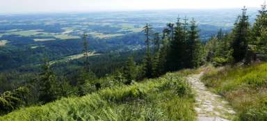
Rýchory is the easternmost part of the Giant Mountains. They are also the lowest and probably the least visited part of the mountain range. That makes it even more pleasant to wander around the beautiful meadows with a view of Sněžka or Vraní hory. The circuit described here is about 28 kilometers long, and you can walk practically the whole of Rýchory.
From Svoboda nad Úpou to the ridge
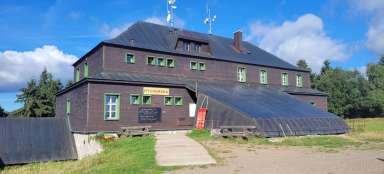
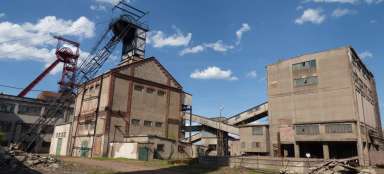
The ideal starting point for this round trip is Svoboda na Úpou. From there, you will immediately face the biggest climb up to Rýhorská bouda. From there we will go over the highest point of Rýhor – Dvorský les to the beautiful view of Sněžná domka.
Svoboda nad Úpou hike - Rychory
To the easternmost part of the Giant Mountains
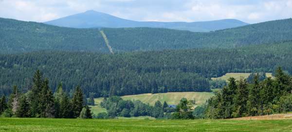
Rýchory is the easternmost part of the Krkonoše mountains with the highest peak Dvorský les. One of the good… continue reading


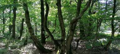
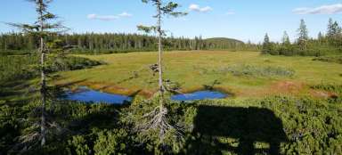
Hike through Dvorský les
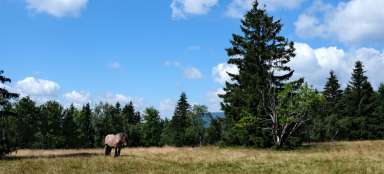
Over the highest place Rychor
The highest peak of Rýhor (the easternmost part of the Giant Mountains) is the flat peak of Dvorský les (1… continue reading


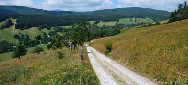
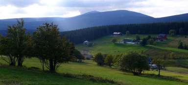
Peak hike through the meadows of the Eastern Giant Mountains
The second stage of the hike is very beautiful, we will go through the meadows in the direction of Albeřice with beautiful views. Then there is a shorter ascent to Lysečinská bouda and a long descent through Horní Maršov back to Svoboda nad Úpou
Hike Rýchory - Horní Albeřice - Lysečiny
A beautiful hike through the Krkonoše meadows
The hike from Rýhor through Horní Albeřice to Lysečin leads through a picturesque landscape full of meadows… continue reading

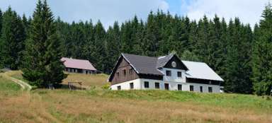
Hike Lysečinská bouda - Svoboda nad Úpou
Connection of the Úpa valley with the peaks of the Eastern Giant Mountains
If you want to descend from the peaks of the Eastern Krkonoše (or, on the contrary, climb them), the blue… continue reading