
Ponta de São Lourenço
On the easternmost tip of the island of Medeira

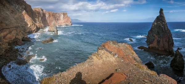


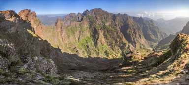
Ponta de São Lourenço is the easternmost part of Madeira. Unlike most of the island, it does not have moisture, but rather resembles a semi-desert. There are almost no trees here. The desolate and bare landscape is very different from the forested interior of the island. Steep cliffs fall up to 200 meters perpendicular to the ocean. The landscape is flogged with strong winds for almost the whole year.
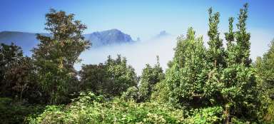
View of Ponta de São Vicente
After the town of Canical, we continue along the ER214 road to the roundabout, where we turn to the Miradouro Ponta de São Vicente (and Miradouro do Rosto) viewpoint.

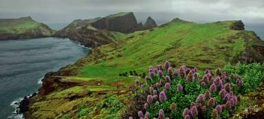
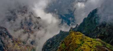
View of Rosto
We continue on foot for about 200 meters to the next viewpoint, from which there is a wonderful view of the north coast of Madeira.

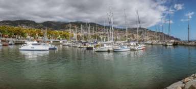
Machico - Caniçal
We return to the roundabout and continue east to the end of the road (bus stop Machico – Caniçal).

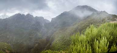
North coast
We continue on foot along with many other tourists to further views of the jagged coastal rocks.

South coast
The road follows a wide arc around Abra Bay on the south side of the promontory.

Ponta de São Lourenço
We continue along the neck only a few meters wide. The rock here on both sides falls perpendicular to the ocean from a height of 100 meters. You can walk to the Casa do Sardinha, which is surrounded by date palms and ascend to the top of Morro do Furado, from which there is a wonderful view of the lighthouse and the easternmost part of Madeira.

Articles nearby


Madeira je moje láska na první pohled. Moje zkušenosti ze 4měsíčního pobytu si můžete přečíst na https://dravazena.cz/category/madeira/