Pico do Suna, Lombo Comprido, Eagle Rock
Short way with views


This route is interesting in that we reach the top of Pico do Suna with the final descent. We will be rewarded with views of the mountain peaks and the easternmost part of Madeira.Video: https://www.youtube.com/watch?…
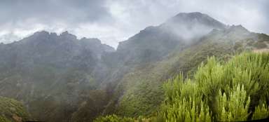
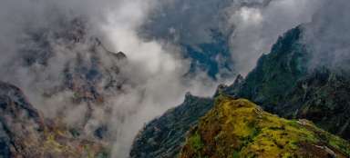
Above the cloudy sea
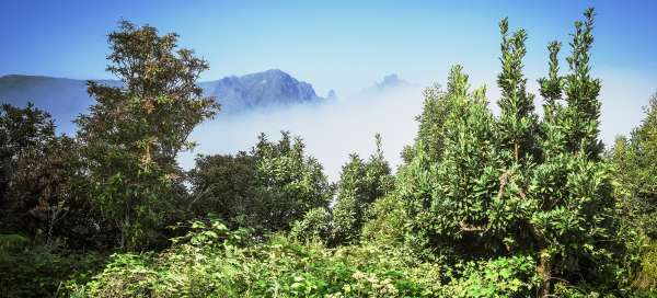
The starting point is a gravel parking area at an altitude of 1135 meters above sea level on the road ER202 west of the village of Santo António da Serra. From here we continue up a wide path. Below us is a cloudy sea, hiding the waves of the ocean.

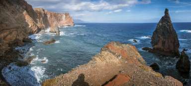
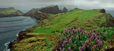
Ponta de São Lourenço
To the east, the coastal cliffs of the Ponta de São Lourenço peninsula appear among the clouds.

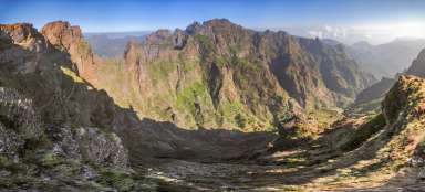
Central ridge
The wide road curves more or less along the contour. About 700 meters from our starting point, a very narrow path turns left up. This takes us to a narrow ridge, from where there is a nice view of the highest peaks of Madeira

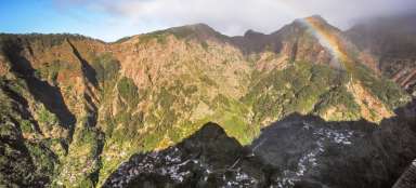
Prospects
We descend the ridge in the NE direction, join the original wide path and finally „climb the final descent“ to the top of Pico do Suna.

Ponta de São Lourenço
„Ascent from the top“ reveals new views in torn clouds.

Eagle Rock
Our last stop today is the Miradouro da Portela viewpoint, which we get to on the ER110 road. From here there is a wonderful view of the peak of Penha de Águia (589 m above sea level), a massive solitary volcanic peak, which rises above the northern coast of Madeira as a significant landmark. It is located very close to Porto da Cruz. Its name translates to „Eagle Rock“.