Ascent to Pico Nambroque
Northern part of the path of volcanoes


The Path of volcanoes (Ruta de los Volcanes) leads through south volcanic ridge of La Palma. It is possible to cross it in one day (8–11 hours). But the transport may be problematic in the case of one-day option. An alternative is then exploring this interesting part of the island in sections. The starting point is in this case a picnic place Refugio de El Pilar (1 455 m asl), where you can get by car along the mountain road leading from San Isidro in the east of the island. Do not take seriously the usual fog and drizzle during the departure – the Path of volcanoes is above the trade wind clouds.
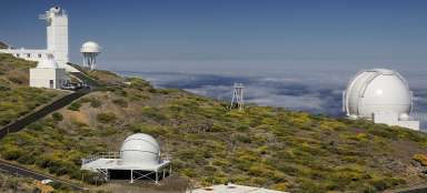
Caldera de Taburiente
The marked path rises from the picnic place roughly to the south through the woodland (canary pine). On the north appear the walls of central caldera.

Above the clouds
The Path of volcanoes leads here to the south through the forest. However, it is possible to turn left in the first place you can and get above the forest level.

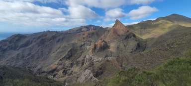
Pico Birigoyo
An alternative route rises steeply to the first observation top of Pico Birigoyo (1 807 m asl). The terrain is in places very loose and it is definitely better to ascend here rather than descend.

Flowing clouds
From the top is a beautiful view of the flowing clouds shrouding the ridge of Cumbre Nueva.

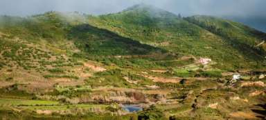
Towns
To the northwest is a group of towns El Paso, Los Llanos, La Laguna and Tazacorte. If there are clouds in the east of the island, there is a high probability that it will be sunny and warm here.

Los Llanos
The biggest town in the west of the island is a lively commercial center. The most interesting for tourists are local markets. So if you have binoculars at the top of Pico Birigoyo, there is certainly a lot to see from here.

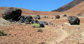
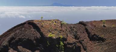
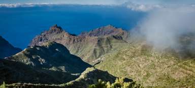
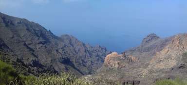
Volcanic landscape
Next steps from the top of Pico Birigoyo lead along the winding ridge path to the south. There is sometimes an interesting view on the landscape shaped and modeled by volcanic history.

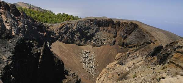
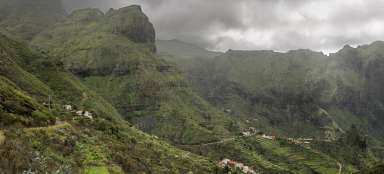
Pico Nambroque
To be able to get to this top, it is necessary to turn left from the Path of volcanoes to the east direction, the branch is well signposted. From the altitude of 1 922 m asl are farther in the south well visible the continuing volcanic hills.

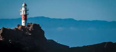
Cumbra Nueva
After the direct return to the starting place without any turning along the well-marked path (picnic Refugio de El Pilar), it is possible to have a ride below the western slopes of the pass Cumbra Nueva and explore the phenomenon of flowing clouds once again from the main road.

Articles nearby


Giga List: The most beautiful hikes in the Canary Islands
The Canary Islands offer a variety of beautiful tours not only in the volcanic landscape, but also in the misty forests or along… continue reading