Trek around Montaña Bilma (1370 m)
With beautiful views of the Teide volcano

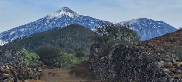
A relaxing, easy trek of about 8km around Montaña Bilma (1370 m) in the west of the island is also manageable for less experienced hikers. The attraction on the route is the beautiful views of the towering Teide volcano and the green tropical vegetation all around you. Transport is easily accessible by local buses to and from Los Gigantes, where tourists are often accommodated. It will make half a day more enjoyable when it is not so hot and you can take a break from lying on the beach.
From Santiago del Teide
Bus 325 will take you from Los Gigantes to the town of Santiago del Teide in just 30 minutes. The journey here through the serpentines is an experience in itself. Right at the bus stop in the square, you can admire the Iglesia de San Fernando Rey church before the trek. The town is larger, so you will also find a shop here if you need to buy some snacks for the journey.

Climbing through green vegetation
The trek is well marked with white and yellow signs and everywhere there were signposts with directions and distances. The beginning of the trek gradually rises and the path is surrounded by green tropical vegetation, like in a botanical garden. There are also views of the opposite hills, which rise above the cliffs in Los Gigantes.

Levadas
Along the way we come across a few still functioning levadas that bring water from the hills down to the fields and the sea, where the landscape is very dry on the western tip of the island. Local farmers also store water for irrigation in large tanks near the banana plantations or other crops, of which there are many.

Nature reserve
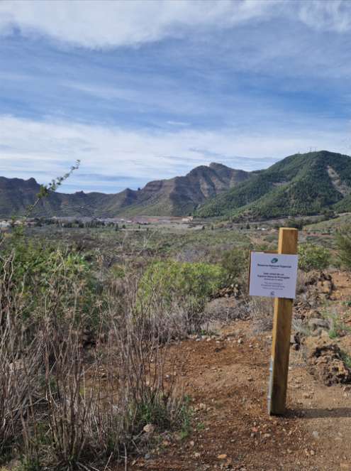
As we continue our trek, we come across a sign indicating the nature reserve area. The path leads up a gentle hill and is well marked with signs and a path bordered by stones.
Teide volcano on the horizon
Suddenly, as you climb, the Teide volcano appears from behind the hidden horizon in all its majesty. We were lucky enough to catch it even with a snow cover.

Looking back towards Santiago del Teide
The climb goes by quickly because there is always something to look at. Even when we look back, we see large green mountains and a few houses from the town of Santiago del Teide.

Over the lava rock scree
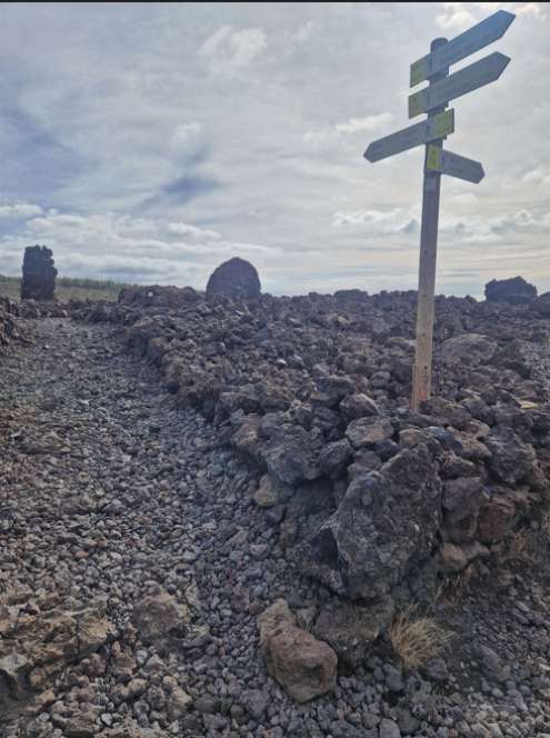
A short section of the trek that goes around the mountain to the north can be shortened by crossing a lava rock scree. It's an interesting diversion. Here too, the path is clearly visible and marked with a signpost when connecting back to the trek.
Sea view
As we go around the mountain along its eastern face, the road breaks and begins to slowly descend. The view of Teide, which has accompanied us for so long, is slowly disappearing from our view. But now we have a new attraction to enjoy, and that is the sea level in front of us.

The island of Gomera in the distance
Another point of interest that was clearly visible that day was the island of Gomera in the distance. Another of the Canary Islands archipelago that can be reached by ferry.

Colorful former mine
Below the mountain, we pass a former mine that has helped reveal different layers of soil sediments, showing a variety of colors from black lava to red weathered rock.

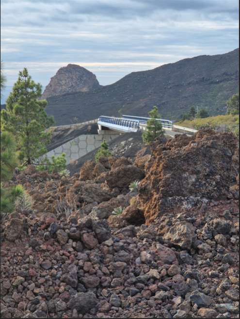
Overpass over the new highway
The road crosses a newly built section of the highway, which, when fully completed, will help speed up travel on the western tip of the island. For now, they have a delay in opening it because they are digging a long tunnel through the mountains. We descend further through the village of Las Manchas to the next village behind the highway, El Retamar, from where we take bus 325 back towards Los Gigantes.
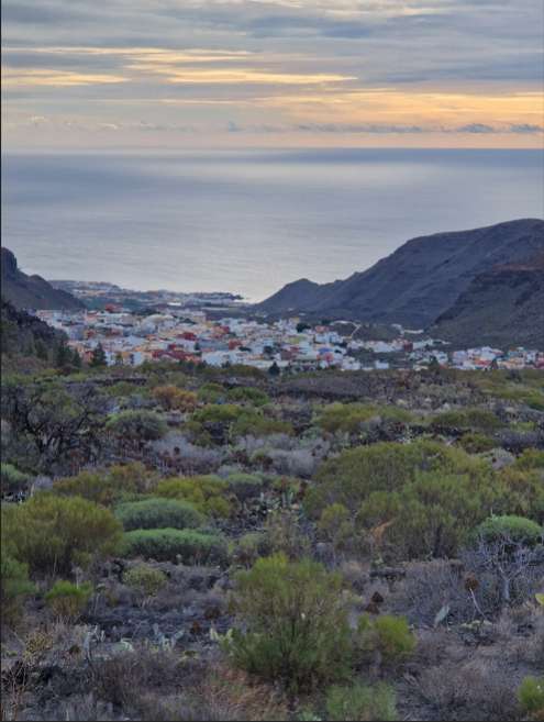
View from the stop in El Retamar
We end our trek with a view down to the sea and the port of Puerto de Santiago, which is right next to the Los Gigantes cliffs.