How much does the highest place in the Czech Republic measure?
Something for cartographers and surveyors


Every high school graduate knows that our highest mountain is Sněžka. But how much exactly does the highest point of our country measure? Various data have been given on various maps and documents throughout history, the scatter of the heights being somewhere between 1601 and 1605 meters above sea level. According to a new measurement using aerial laser scanning, the peak of the Krkonoše Sněžka is at an altitude of 1603,296 meters above sea level.
Basic trigonometric point
In the maps shown 1602 meters above sea level, it is said to be the height of the trigonometric point located on Sněžka, approximately 20 meters south of the peak. This „basic trigonometric point“ on Sněžka is the highest geodetic point in our territory. It was installed on this site in 1936 and is firmly concreted into a compact rock. According to the Surveying and Mapping Authority, the exact height of the trigonometric point at the top of Sněžka is 1602.02 meters.

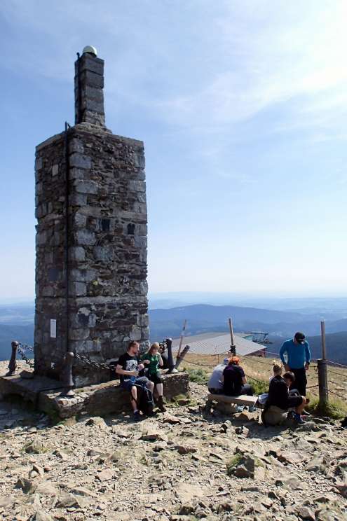
Optical focus of the trigonometric point
It is allegedly not a necessary rule that the trigonometric point is always completely at the top, and this is not really the case on Sněžka. The place for this point was chosen with regard to the possibility of optical focus. The problem, however, is that most current printed maps show the peak of Sněžka with a height of 1602 m above sea level.
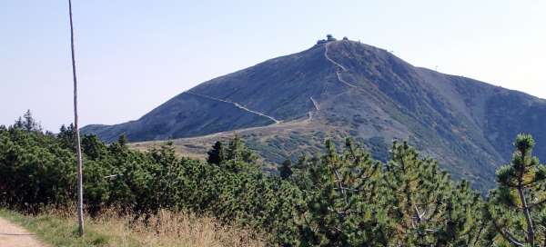
Sněžka peak
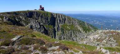
But beware, the top of Sněžka is located on Polish territory near the chapel of St. Lawrence, approximately 3.5 meters from the state border. There is no doubt that Sněžka is the highest mountain in the Giant Mountains, but the top of Sněžka is clearly located in Poland. Based on accurate measurements, the Surveying Institute stated that the highest point in the Czech Republic is located on Sněžka on the state border with the Republic of Poland near the top of Sněžka and its altitude is about 10 cm lower than the actual peak. It will now be interesting to see how this new finding translates into the printing of new maps. The value 1603 is already listed on the mapy.cz server.

The highest peak in the Czech Republic, the highest fixed point in our territory
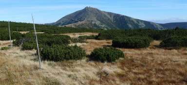
The highest peak lying within the borders of the Czech Republic is Luční hora with its 1555 meters located about 4 km west-southwest of Sněžka. , 5 mnm.