Hike Javorinky Saddle - Stool
We will reach Stool on forest roads with views of Kráľova hoľa


Hike through pleasant forest paths in the protection zone of the Muráňská planina National Park with occasional panoramic views of the Low Tatras and the surroundings of Muráňská planina. The total route is 24.5 km, it can be shortened if we drive to the parking lot at the crossroads Sedlo Javorinky, then the length of the tour is only 18 km. In addition, we save unpleasant walking on the road.
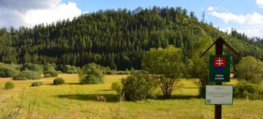
Muránská Huta
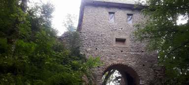
From the village of Muránská Huta, turn right along a low-traffic road towards Telgárt up a gentle hill. First, we will stop briefly at the local waterfall, where it is possible to get wet. After 2.5 km, we reach the crossroads „Pod Javorinkou“, where cars with a permit can drive into the part of NP Muráňská planina to Veľká lúka. After another half kilometer we arrive at the crossroads „Sedlo Javorinky“, where we finally turn off the road.

Javorinky saddle - North meadow
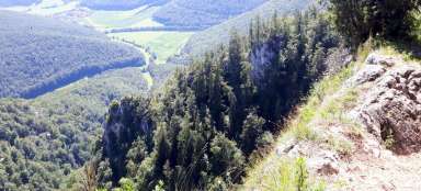
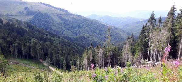
We will follow the red tourist sign (Rudná magistrála) along pleasant forest paths for about 4.5 km until we reach Severní louka. In the meadows we sometimes have beautiful views of the Low Tatras, not dominated by the unmissable Kráľova hoľa with an unmissable transmitter on the top.

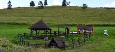
Slanské sedlo (1246 m asl)
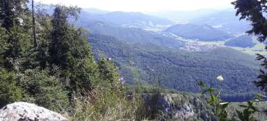
After 2.5 km of gradual ascent, we arrive at Slanské sedlo, where there is a signpost and a tourist shelter. We can enjoy beautiful views of Muránská Zdychava.

Stolica (1476 m asl)
Then the road starts to climb more and more steeply, after about 2 km we reach the Harová saddle and then after another about half a kilometer steeper climb we finally ascend to the top of Stolice, which is the highest mountain of Stolické vrchy and the whole Slovak Ore Mountains. It is interesting that the district and regional borders between the Revúca district and the Rožňava district pass through the peak. At the top, it is possible to enjoy beautiful views at the signpost and cross. Return the same way or along the blue 1.5 km descending a steep descent back to Slanský sedlo