Article Climbing Stok Kangri
Indian peak near Leh

Stok Kangri 6150 m above sea level is the highest mountain in the Zanskar range and in the Ladakh region of North India. The peak is located in the Hemis National Park, 12 km southwest of Stok village and about 15 km southwest of Leh, the capital of Ladakh.
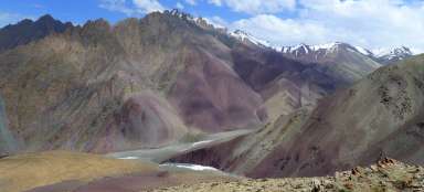
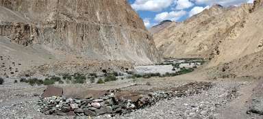
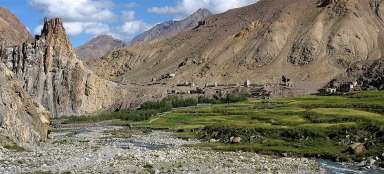
Despite its high altitude, Stok Kangri is a popular peak and is often climbed as one of the first for novice climbers. However, the difficulty of Stok Kangri is often underestimated and the need for acclimatization before climbing Stok Kangri makes it a difficult undertaking. Just the journey to the base camp at 4,969 meters above sea level takes two days, and the summit day involves a climb of over 1,000 meters.From Stok, where the ascent begins, one walks through a gorge surrounded by colorful rocks and continues to Camp Mankarmo, and from there to Base Camp, from which one sets out for the summit early in the morning.
All tented camps offer a modest meal or tea or the option of sleeping overnight.
On the way to the base camp, we met a lot of still excited and laughing people who had no idea what was waiting for them. It felt a bit like the locals had a company event here to get to the top, everyone is saying hello and asking if we will meet at the top too.
Unlike others, we carry everything on our backs and thus act a little differently from those who have paid an agency that takes care of everything and the participants do not have to carry anything.
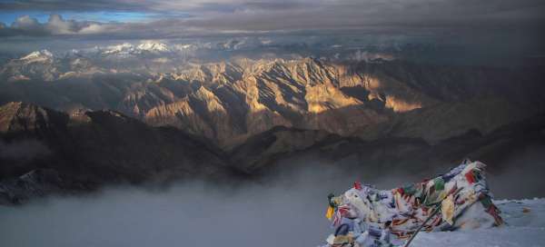
After all, with increasing altitude, the number of enthusiasts climbing to the main Base Camp is decreasing. It is most visible at night during the peak ascent. At the stroke of midnight, the swarming begins at the last high camp and the rows of lights make their way to the top. The closer we are, the fewer and fewer lights there are until we are completely alone at the top. The fear that we won't be able to see anything thanks to the clouds melts away, because the sun puts on an incredible show and we just silently look at the mountain tops around us. With good visibility, it is possible to see the Karakoram Mountains with the dominant K2 and the other side of the Indian Himalayas.
Sewerage
The road from the village of Stok

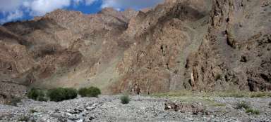
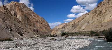
River basin
The path goes through the river bed and there is no shortage of jumping or wading.

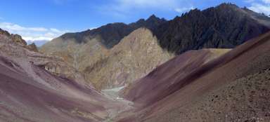
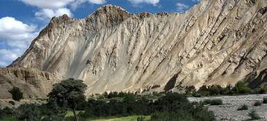
Colorful mountains
The road between the two camps is lined with colorful mountains

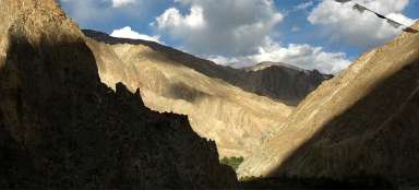
Exit route
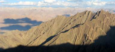
A steep ascent route

Sunrise
Sunrise at the top

From the top
From the top you can see the Karakoram