Ascent to Veľký Choč
The highest peak of the Choč Hills


There are several possibilities to complete the ascent to Veľký Choč, this time I bring you the most demanding variant of the ascent to Veľký Choč from Ružomberok, via Likava, Predný Choč and with the descent to Lúčky.
Route
How to get there?
Our journey starts from the train station from Ružomberok at 3:40, where we follow the red sign towards Likavka (be careful, the red sign also goes to the hill Predný Čebrať and it is in a different direction), from there we climb the same sign to the castle Likavka (Unfortunately, it is closed in 2017 due to reconstruction), then we continue to the top of „Predný Choč“ (it is a nameless hill just marked as such), where there is no tourist sign but there is a well-trodden path (be careful on the way back, where there are more sidewalks, yes you can get lost here as well), then slowly descend to Stredná Poľana, traversing under the top of Predný Choč, from Stredná Poľana it is only a „short distance“ to the top and after an hour of climbing we get directly to the top of Veľké Choč. As the descent route we choose the red sign in the direction of Lúčky, which as we find out during the descent is the most challenging alternative due to the biggest descent, but after 8 hours we drink good beer in Lúčky and remember the beautiful day and amazing views we experienced thanks to the early start of the tour.
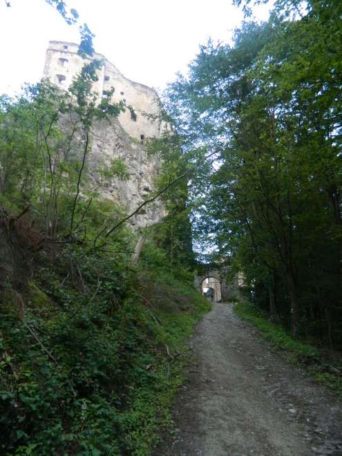
Likavy Castle
after an hour of hiking we get to Likavy Castle, which is closed.
Front Choč
View of the Váh valley to Ružomberok in the background with the Great Fatra and the Low Tatras.

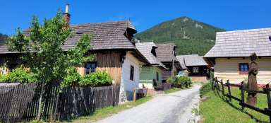
Central Poľana
Stredná Poľana is an ideal place to relax before climbing the top of Veľký Choč, an ideal place to sleep just to watch out for bears and nature rangers.

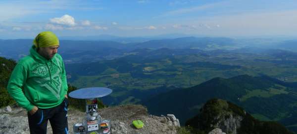
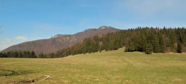
View of the Great Fatra
The Great Fatra in the background and the beautifully flowering meadow in the foreground ideally complete the atmosphere during the ascent to Veľký Choč.

The view
View of the Váh valley just without Ružomberok, but with a beautiful background of the Low Tatras

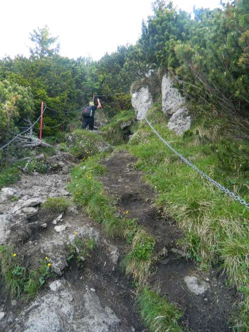
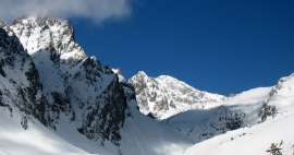
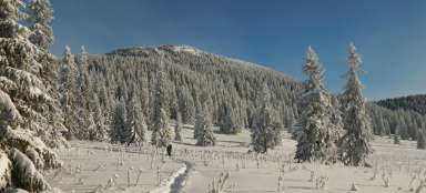
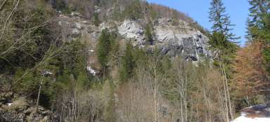
Winter route
When ascending the winter route, which is very well marked and much better exited than the summer route, we also pass through the area where there are safety chains.
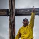
Top
View from Veľký Choč to Orava.

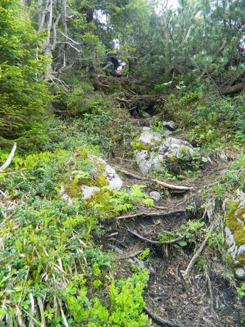
Descent
The descent towards the village of Lúčky was for the most part quite steep and the joints are getting busy.
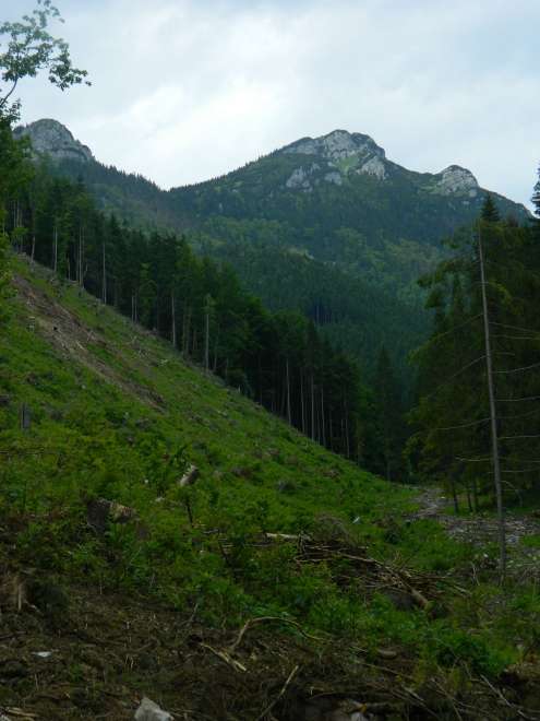
Recent views
The last view of the top of Veľký Choč in the foreground with a typical and irreplaceable element of the Slovak forests with a view of the rubble, of which during the descent we see a large number, which we do not cope with the degree of protection of this area.
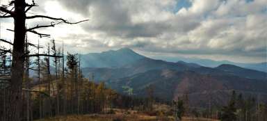
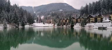
Something to conclude
View of the Liptov basin with a dominant in the form of Liptovská Mary, which is surrounded on one side by the High Tatras and on the other by the Low Tatras.

Articles nearby


Giga List: The most beautiful mountain ascents in Slovakia
Slovakia, as a very mountainous country with a number of peaks accessible to tourists, offers really beautiful mountain ascents… continue reading