Hike through Prosiecká dolina and to Velký Choč
Weekend tourism in Chočské vrchy


A two-day journey through the Choč Hills took us to the Prosiecká Valley on the first day and a circuit over the peak of Pravnáč 1206 m. On the second day, the classic route from Valaská Dubová to the highest mountain of the Velký Choč 1611 m was chosen.
Route description
1 day. From the parking lot at the end of the village of Prosiek, we enter the mouth of the Prosiecká valley following the blue sign. Right from the beginning, the valley welcomes us through a narrow canyon through which the river Prosiečanka flows. We overcome this along a wooden sidewalk ending in a protected path with a steel rope. Nothing heavy, you just have to be careful of the slipped places that slide. A little further on, the river ends and we walk through the opening valley, towards the end we start to climb more and this is shown by the limestone rocks on the opposite hill. Finally, we turn to the Červená Piesky waterfall. It is a short walk from the waterfall at the Svorad crossroads. Here we have beautiful views of the local mountain meadows, where cows and sheep graze. From Luk there is a view of the Western Tatras. We reach the top of Pravnáč by a long traverse along a forest road, leading mainly along a green mark, over the Prietržná saddle. From the 1206m high Pravnáč, views of the Tatras, the Liptovská Mara reservoir, and the Choč Hills with the highest mountain of the Velký Choč Mountains, 1611m, open up to us. The way down is a bit tricky thanks to logging, but we find the way and descend sharply to the village of Liptovská Anna. Behind the village there is a turn to the rock lookout Čerenova skála, but we don't want to go there anymore, because this day was nutritious for us and we continue to Prosiek where we will have a car and a trip to Valaská Dubová. 2 Den. After sleeping in Valaská Dubová, we set off along the blue sign in the direction of Stredná polana. Right behind the village, the road begins to climb, on the left side there are local limestone rocks, a little higher then a small rock strait and then the road leads up through the forest. The views are then at the crossroads of Stredná polana, to the meadow, the top of Choč and in the distance to the Low Tatras. We continue to the top by a winter path, which after a while follows the red sign leading to the top. The path below the top is secured with chains, nothing demanding. From the top we have views of all the major mountains of Slovakia, the Tatras, Fatra, Babí hora in the north and Liptovská Mara as a reservoir below. We choose the way back along the green mark, which is easier because there are no chains, but it is also quite steep. We come again to Stredná Polana, where there is also a bivouac in the form of a mountain hut and a spring of water about 10 minutes walk. There is good going down to Valaská Dubová, only with increasing time the number of people ascending increases.
Prosiek parking
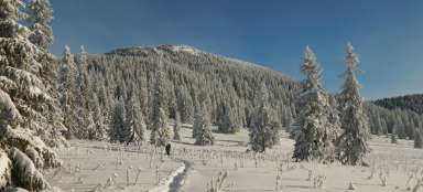
view of Prosiecká dolina from the parking lot

The mouth of the valley
wooden walkway leading to the beginning of the valley

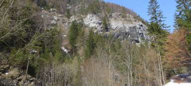
Limestone rocks
rocks at the end of the Prosiecká valley

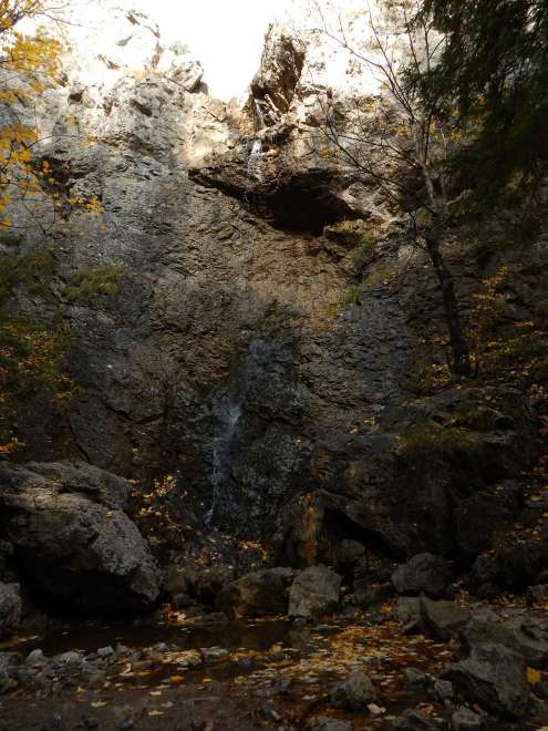
Waterfall
Red Sands Waterfall, unfortunately there was little water in October
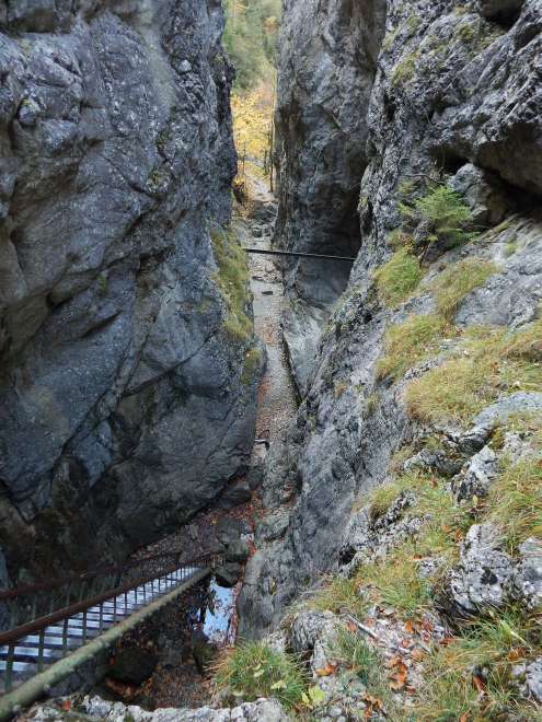
Ladders
the conclusion itself is completed by ladders
Meadow
meadow above the crossroads Svorad

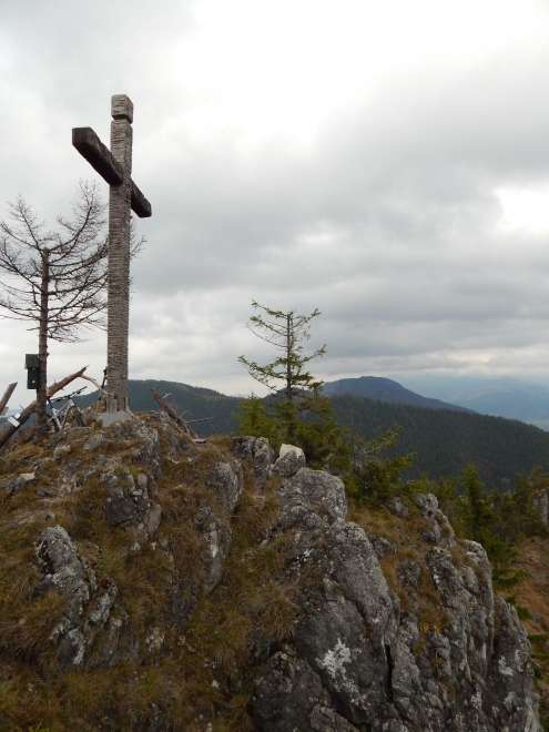
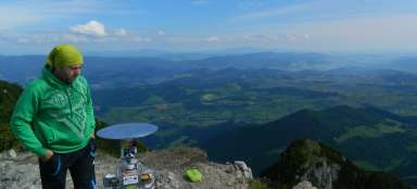
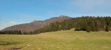
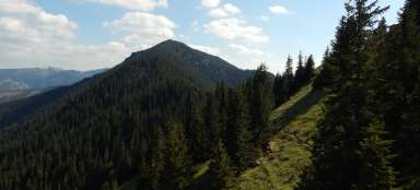
Pravnáč 1206m
top cross with book
Liptovská Mara
on the way from Pravnáč to Liptovská Anna

Cheren's Rock
view of Čerenova skála near the village of Liptovská Anna

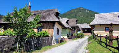
Valaská Dubová
the village from which we start at Velký Choč

Middle Polish
meadow overlooking the destination Velký Choč

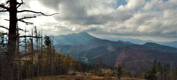
Outlooks
Velký Choč 1611m and a view of the Choč Hills and the Tatras in the back

Hut
sleeping parlor in the Middle Polana