Article Khurai Tsenkher Gorge
Where will the trucks also go?

The canyon of the Khurai Tsenkher River (Хүүрай цэнхэр гол), ie the Dry Blue River, is another possible access road to the interior of the western Altai. From Mankhan to Munkhkhairkhan it is about 80 km, ie. so for 3 days on foot or around 5 hours by car. Overall, it is more passable than the Dund Tsenkher valley, so a truck can pass through it and even power lines lead through it.
Camels
Right at the entrance to the canyon from the north, it is quite common to meet „wild“ (ie free-moving) camels, which retreat to the flood cone of the river to replenish the water in their humps.

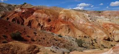
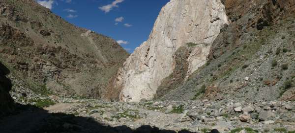
White cliffs
The walls of the canyon are formed by steeply built layers of rocks. The most photogenic are then white marbles.

Canyon
The most closed passages are in the northern part, towards the south the canyon slowly opens into a valley with relatively steep slopes. The water in the riverbed is lost in the gravel deposits as soon as possible and then reappears.

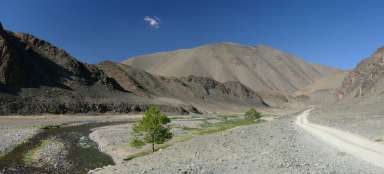
Road
The road winds along the bottom of the valley, only occasionally a few meters up the slope. Thus, the river often destroys it, depending on the amount of water, which changes during the year with each melting, frost or heavy rain. In the picture from the end of May, the river is still frozen, but the ice will no longer hold the car.

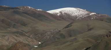
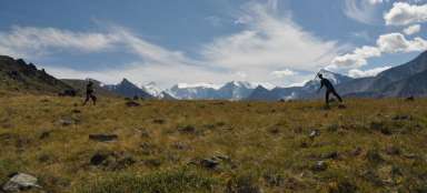
View from above
The mountain ridge that intersects the canyon is not formed by any mountain peaks. They are relatively round hills, but with an elevation gain of about a thousand meters. You can usually climb over the canyon through any side valley.

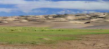
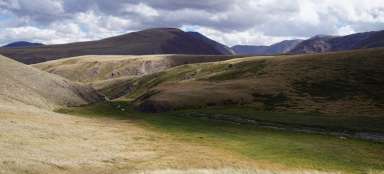
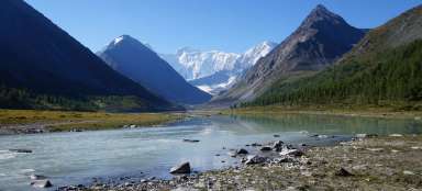
Green pastures
To the south, the canyon opens into a flat fertile valley, where the water is relatively stable and the pastures are therefore still green. The valley of the Dry Blue River runs in the picture from left to right (downstream); between the northern mouth of the canyon and this place we gradually climbed about 700 meters, the bottom of the valley is at an altitude of about 2500 m above sea level