Hike around the Untersulzbach waterfall
A walk around the waterfall and through a beautiful valley


A series of side valleys stretches from the northern side of the Hohe Tauern. One of them is the less visited Untersulzbachtal. And at its end you will come across the interesting Untersulzbach waterfall of the same name. The starting point for this beautiful hike is located between the towns of Rosental and Neukirchen am Großvenediger in the valley of the Salzach River. From the main road, turn onto Sulzau and then drive to the parking lot at Landhaus Schiedhof and Gasthof Schütthof. It is also possible to stay right here in Apartment Emmi . From there it is only a short walk to the beginning of the walking circuit along the waterfall.
Arrival at the starting point of the route
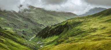
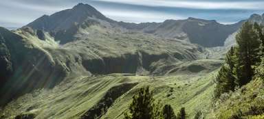
After you get off the main road, it's just over a kilometer to the start of the trail to the waterfall. The Untersulzbachtal valley is on the left in the photo – closed by a rock threshold with a waterfall. On the right you can see the larger and better-known Obersulzbachtal valley, where the well-known hiking route to the Grossvenediger leads

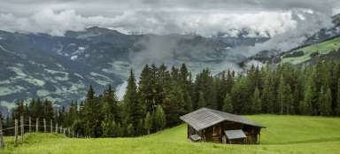
The starting point of the route to the waterfall
The starting point of the route is at the hotel, restaurant and farm at the same time. There are free parking spaces. But it is good to support the owner on the way back, for example with lunch or other refreshments.

Bergwerk
After about two hundred meters of a comfortable path through the meadow, you will reach the starting point of the route. The circuit around the waterfall is two kilometers long with an elevation of almost 350 meters. The circuit can of course be extended by a subsequent ascent up the valley. Apart from the waterfalls, you will also come across several remains of historical mining. Throughout this area, there are many tunnels where you can go with an organized tour.

First view of the waterfall
We climb up the right side of the gorge and soon the first view of the waterfall falling into the narrow gorge opens up.

View of the region
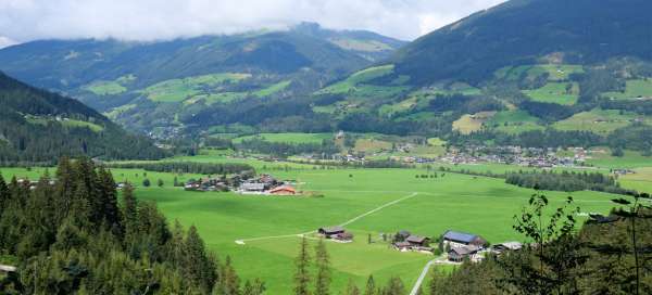
Finally, a nice view of the mountain meadows on the other side of the Salzach river valley also opens up.

Second view of the waterfall
The second and last view of the waterfall on this side of the gorge is not so famous. You are more likely to admire rock walls than a waterfall.

Half of the base circuit
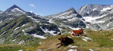
We climb a rocky step and suddenly a classic mountain valley opens up in front of us. We cross the river on the bridge and we are practically half way through the basic circuit. But it is definitely worth continuing further along the river and extending the basic walk.

Walk along the river
The walk along the river is very pleasant with beautiful views. After a while, the footpath joins the road for cyclists.

Schaubergwerk Hochfeld
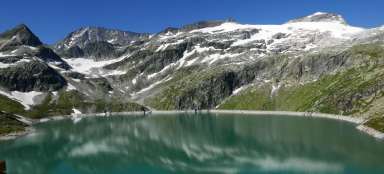
From the bridge, it is less than a kilometer and a half along the river to the Schaubergwerk Hochfeld, where you can visit the historic tunnels in the surrounding massifs with a guide. Here we turn around and return the same way back to the circuit around the waterfall. However, you can continue through the valley for many more kilometers to the glacier.

Viewpoint Albert-Schell-Kanzel
We return the same way before connecting to the second part of the circuit, which has more viewpoints. The first thing that awaits us is a view into the depths of the gorge

Viewpoint Knappenkanzel
Just a few meters next to it, there is another view of the depths
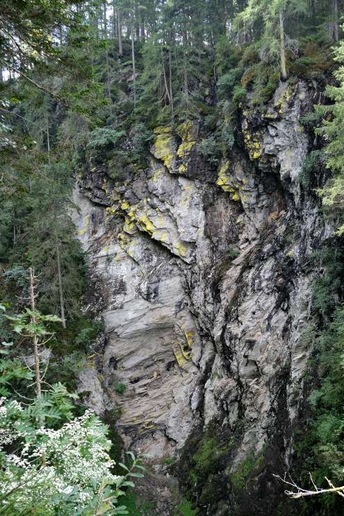
Rock wall
Beyond is a beautiful view of the rock wall rising vertically several tens of meters above the bottom of the gorge. You definitely wouldn't want to fall down from there.
View of the waterfall from the top
Then we finally come back to the main waterfall, which we have an interesting view from the top.

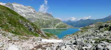
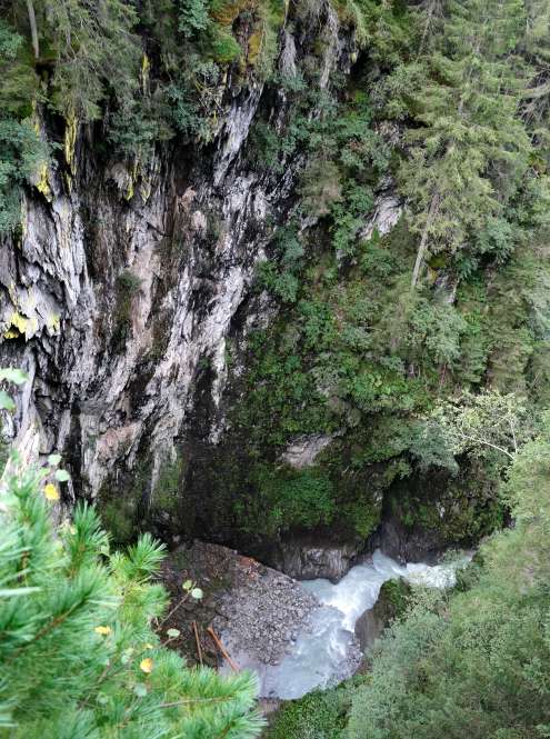
Gorge and waterfall
From another vantage point, you can see both the waterfall and the dramatic gorge below

Beautiful view of the Salzach valley
From the viewpoints, you can see not only the waterfall, but also a beautiful view of the Salzach valley.

A fabulous view of the waterfall
The last viewpoint is directly opposite it, but it is practically invisible due to the amount of water spray in the air. But the atmosphere here is like in some fantasy movie.

Beyond the gorge
We leave the forest at the edge of the gorge, where the river is already flowing calmly and in a few kilometers it will strengthen the waters of the Salzach. It's only a few hundred meters back to the car.