Article Schlegeispeicher
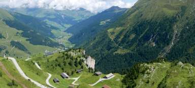
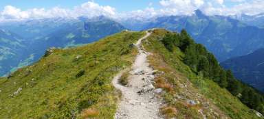
Walk along the mountain dam

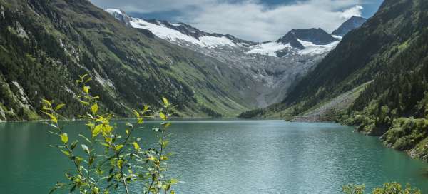


The Schlegeisspeicher reservoir is fed by the mountain streams Zamserbach, Schlegeisbach and Riepenbach. It lies at an altitude of 1900 m and its waters reflect the surrounding mountains and glaciers Schlegeiskees and Furtschaglkees.
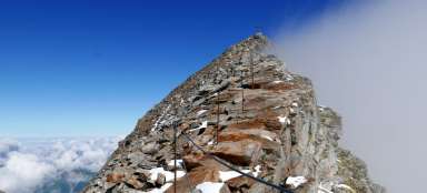
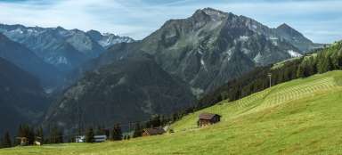
Ahornspitze
We begin our journey through the Zillertal and end in the town of Hippach. There is a really wonderful view of the Ahornspitze from here. This time the mountain welcomes us with the first morning rays of the sun.

Schlegeisspeicher
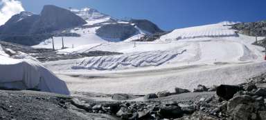
From Mayrhofen, a bus takes us along a mountain road to the dam of the Schlegeisspeicher reservoir. The hour's journey is full of serpentines and at the end we also dig into the tunnels.

Riepenbach
One of the water sources of the reservoir is this stream, flowing down from the southern slopes of the ski paradise above Hintertux.

Road along the dam
We continue along the western edge of the water area along Wanderweg 502 towards the glaciers.

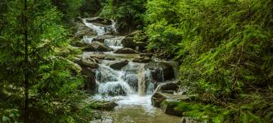
Waterfall
The source of the waterfall on the opposite bank is water flowing from the interior of the earth.

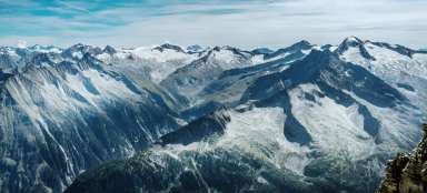
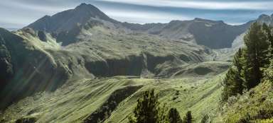
Panorama of the mountains
In the north, Olperer, Gefrorene – Wand Spitzen and Hoher Riffler rise above the water.

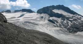
Schlegeiskees
We get under the glacier, which is an important source of water feeding the dam.

Mirroring
We return to the dam of the dam reservoir the same way and enjoy the view of the three-thousanders.

Articles nearby


Giga List: The most beautiful hikes in the Zillertal Alps
The Zillertal Alps are one of the most glaciated Austrian mountains. The axis of this area is the river Ziller and the most… continue reading