From Rejvíz to Jeseník
Easy and wonderful walk with views


The mountain settlement Rejvíz lies at an altitude of 780 m above sea level on the border of Hrubý Jeseník and Zlaté Hory, about 8 km east of the town of Jeseník. It is a beautiful location, which is an ideal starting point for many tours in the Jeseníky Mountains.
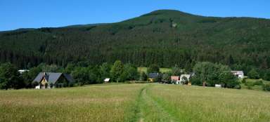
Mountain meadows
From the signpost in the middle of the village, we set off along the Rejvíz nature trail towards the national nature reserve of the same name.

The lake
Following the wooden sidewalk (entrance CZK 30, September 2018) we walk to the Great Moss Lake. NPR Rejvíz is the largest Moravian peat bog with an area of 396.63 ha.

Logging
The circular nature trail takes us back to the village of Rejvíz. We continue along the red tourist sign in the direction of Zlatý chlum. The process can be complicated by mining activities.

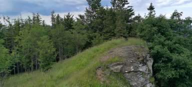
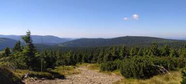
Prospects
The ridge path sometimes offers views to the north of Polish territory. In autumn, it is usually not a problem to find a lot of mushrooms, although the most beautiful are not always edible.

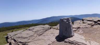
Great-grandfather
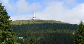
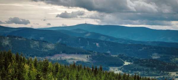
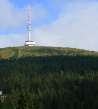
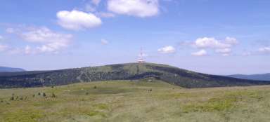
On the south side below the top of Bílá skála there is a nice view of the highest Moravian mountain Praděd.

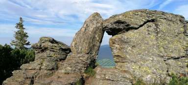
Circular view
Another goal is the Zlatý vrch lookout tower, which was opened in 1899. We cross 26 meters by 145 steps. From a height of 901 m above sea level (top of the lookout tower) there is a circular view of the nearby town of Jeseník, Otmuchovské Lake in the Oder Plain in Poland and Hrubá Jeseníky with the dominant peaks Praděd and Šerák, or Králický Sněžník and Rychlebské Mountains.

Priessnitz prospect
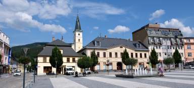
From the lookout tower we descend along the blue marked path towards Jeseník. We reach Křížový vrch with the so-called Priessnitz viewpoint. The town of Jeseník is in sight from here and in the next 20 minutes of descent we are at the destination.

Articles nearby


Giga List: The most beautiful hikes in Hrubý Jeseník
Hrubý Jeseník is the second highest mountain range in the Czech Republic and not only for this reason it promises very beautiful… continue reading